
Aerial Toronto 2019
Aerial Photography
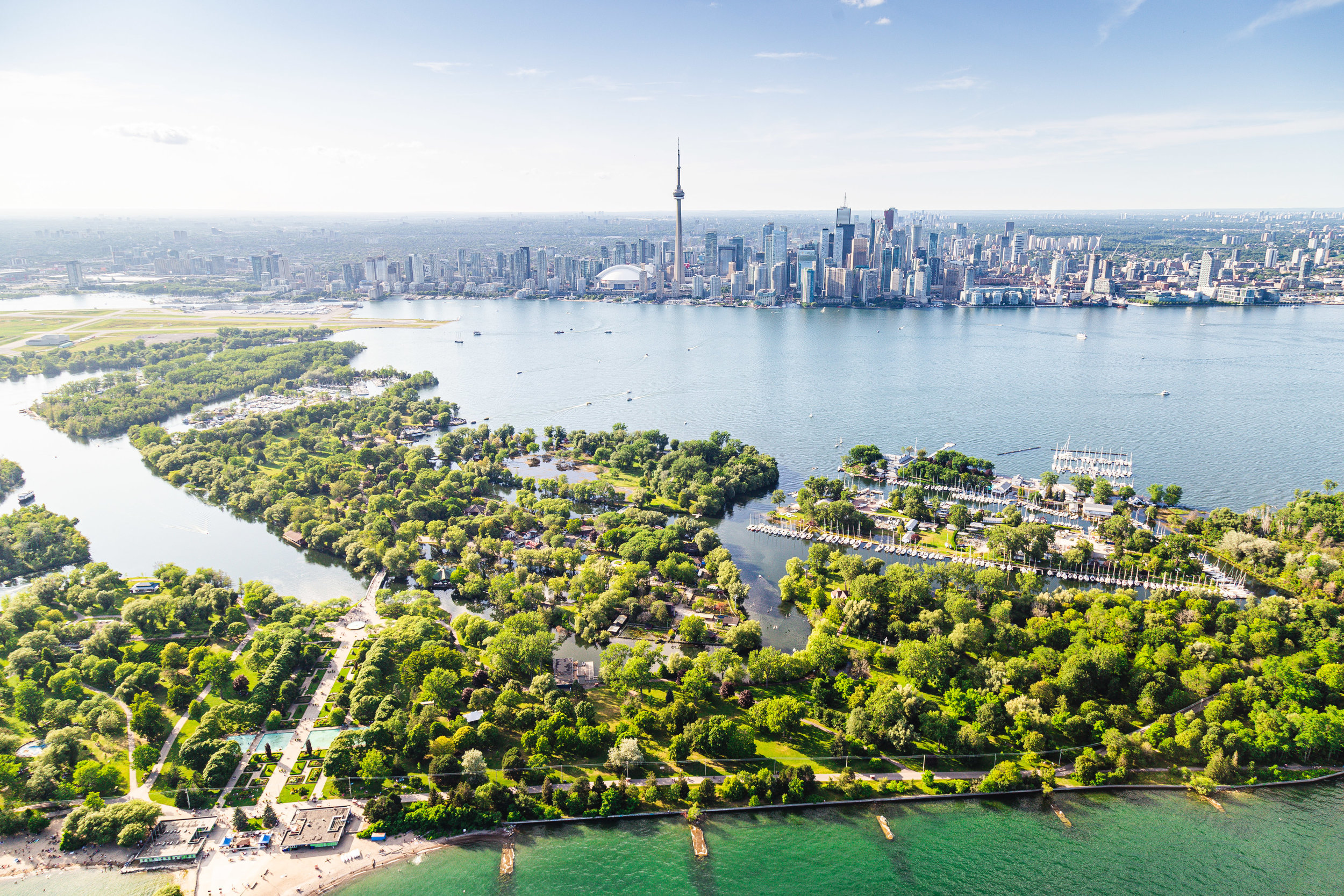
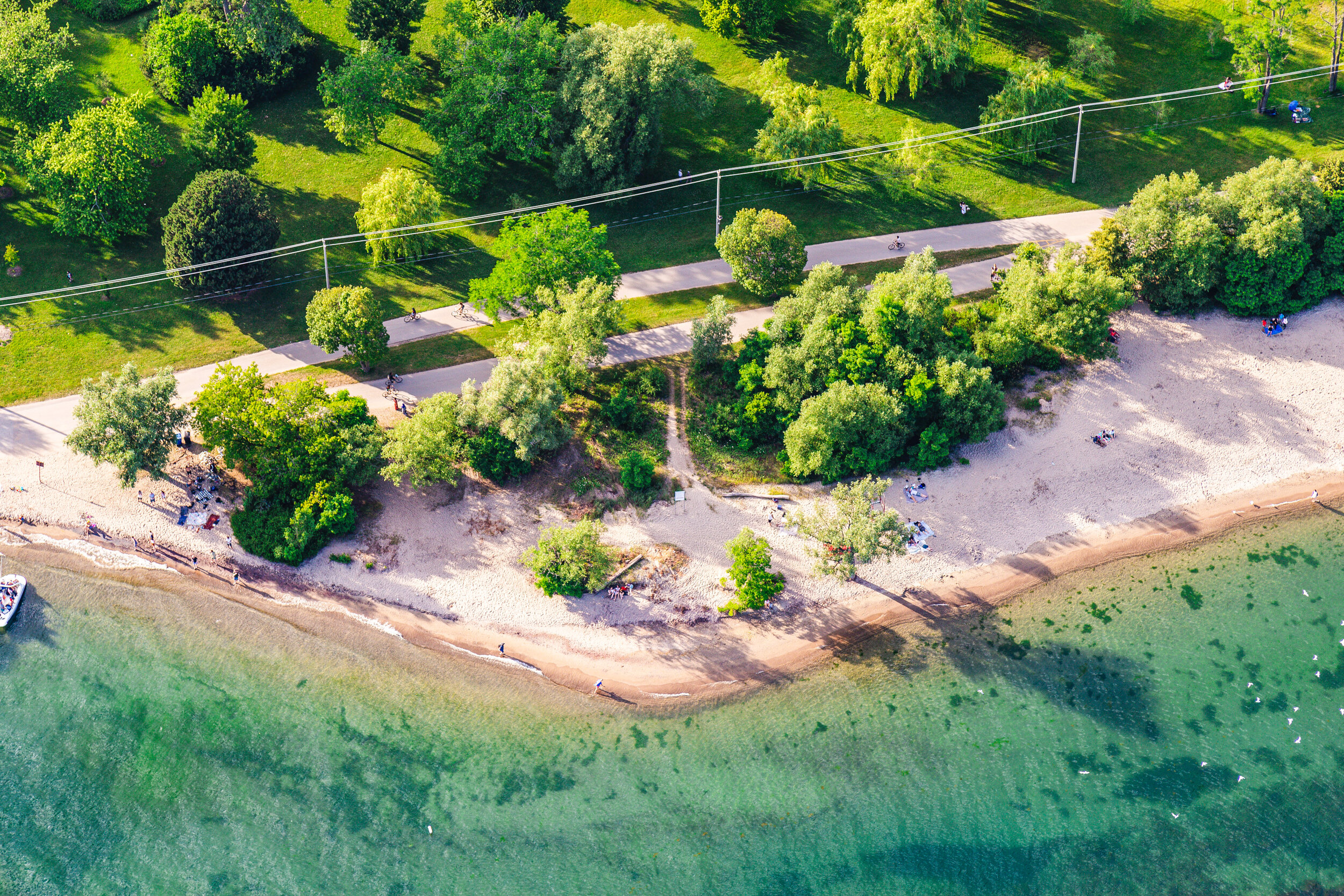
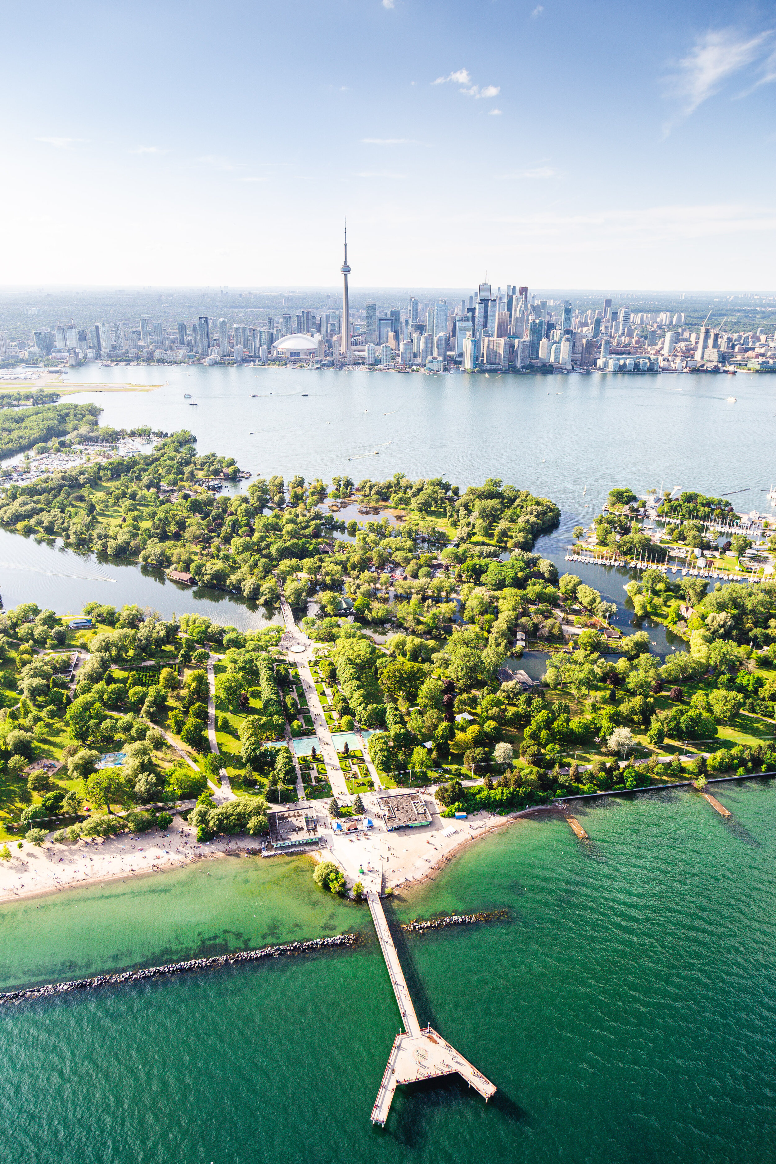
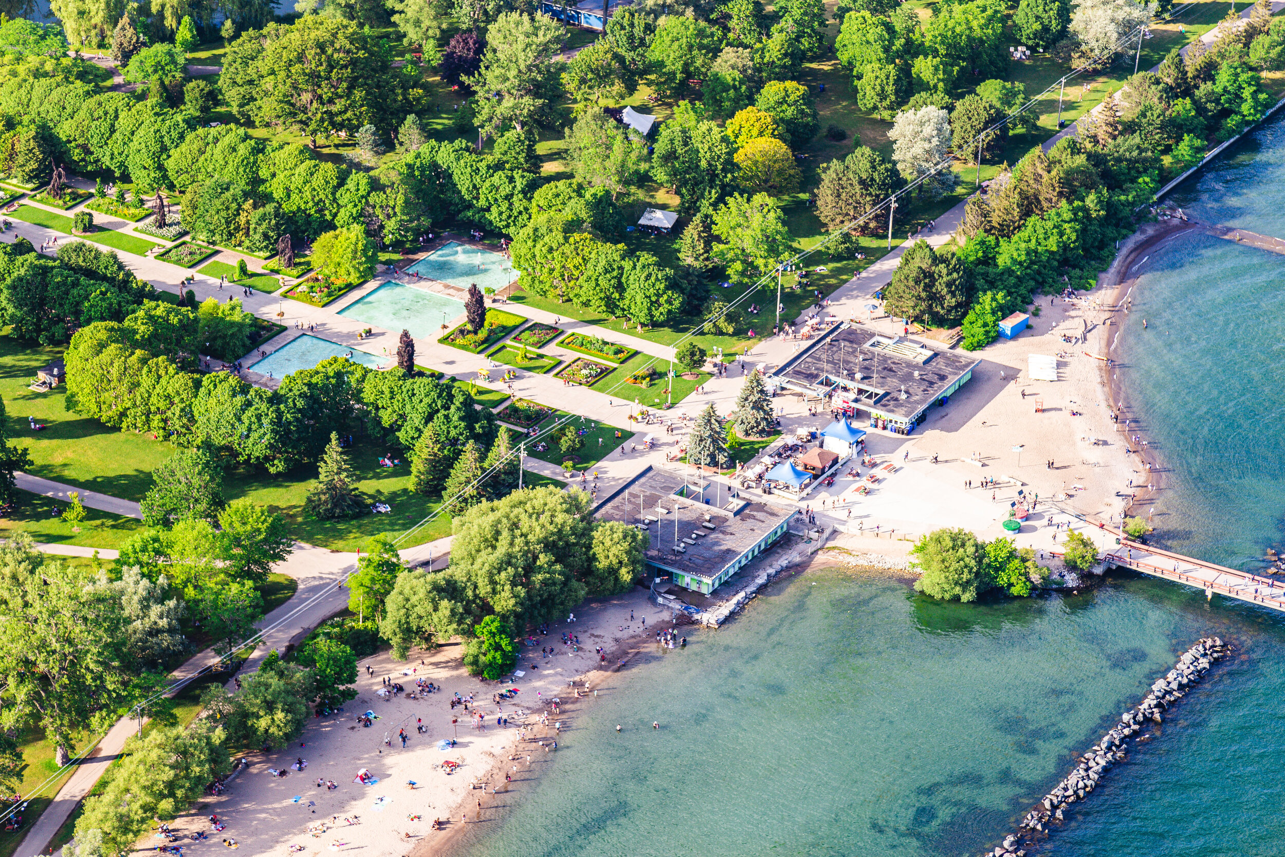
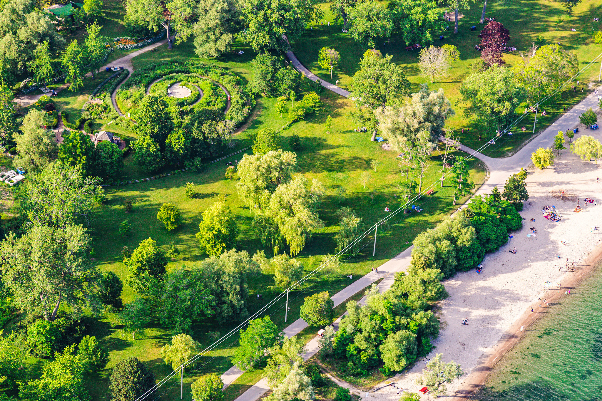
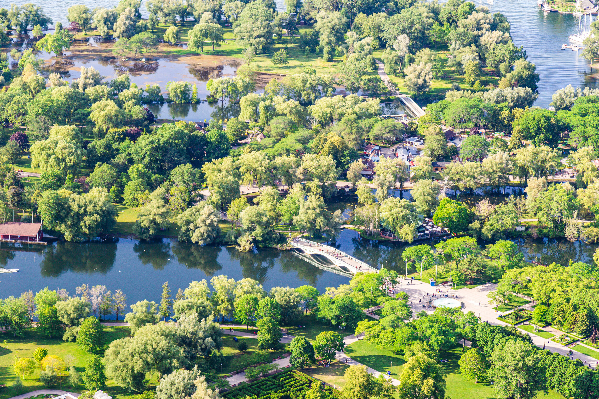
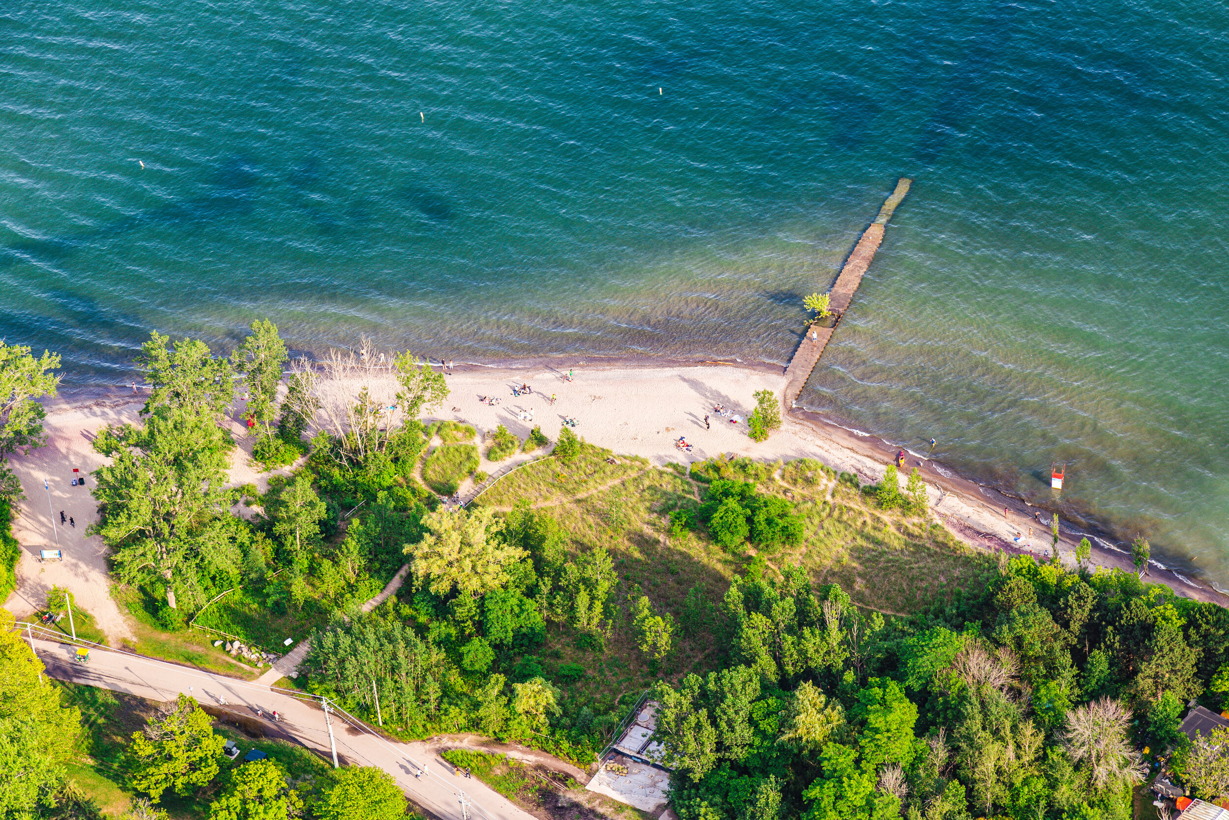
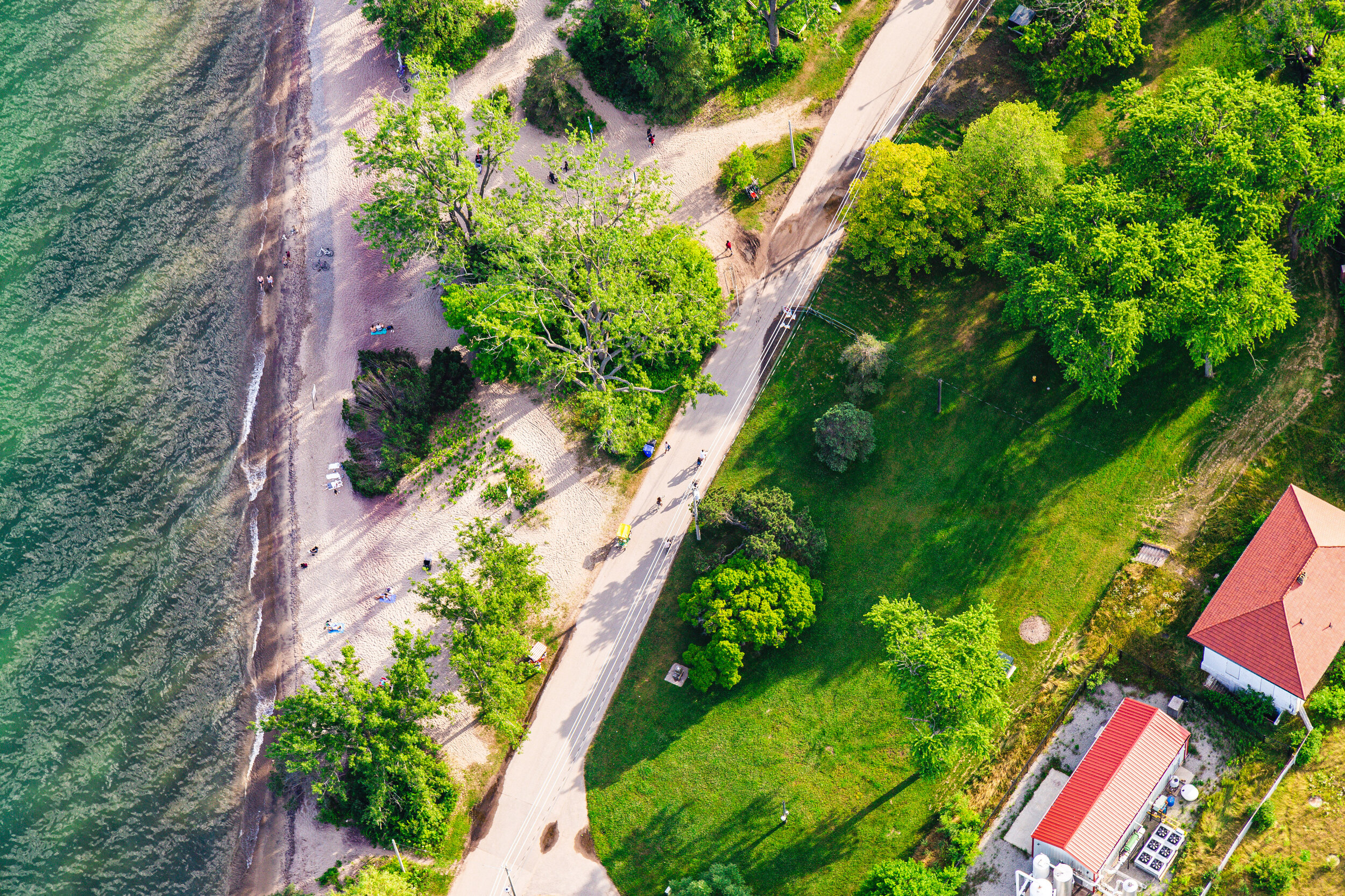
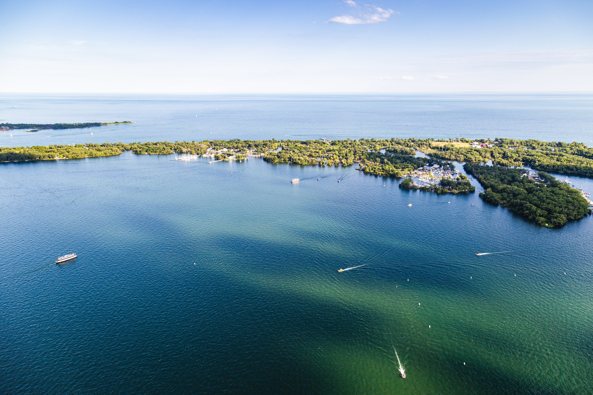
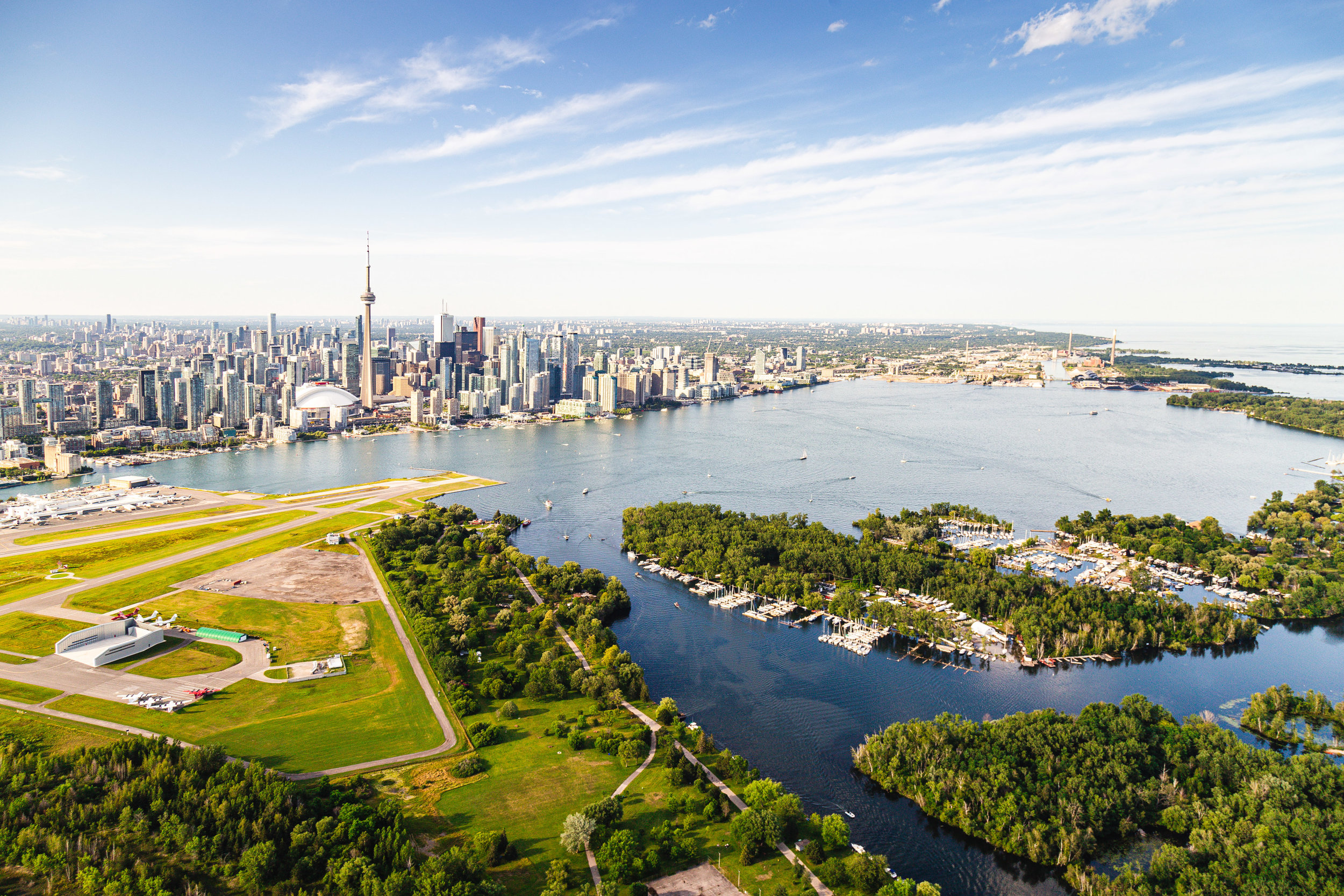
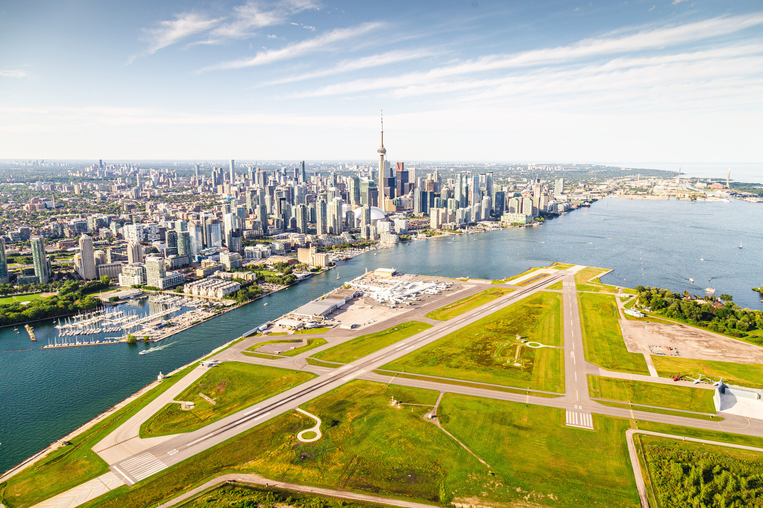
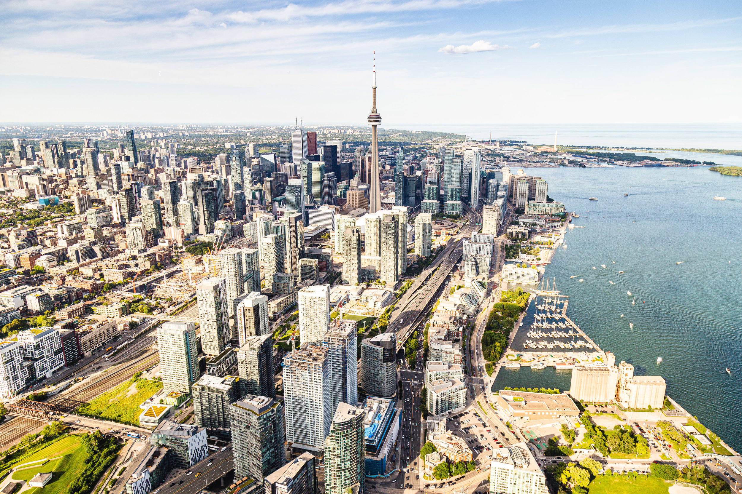
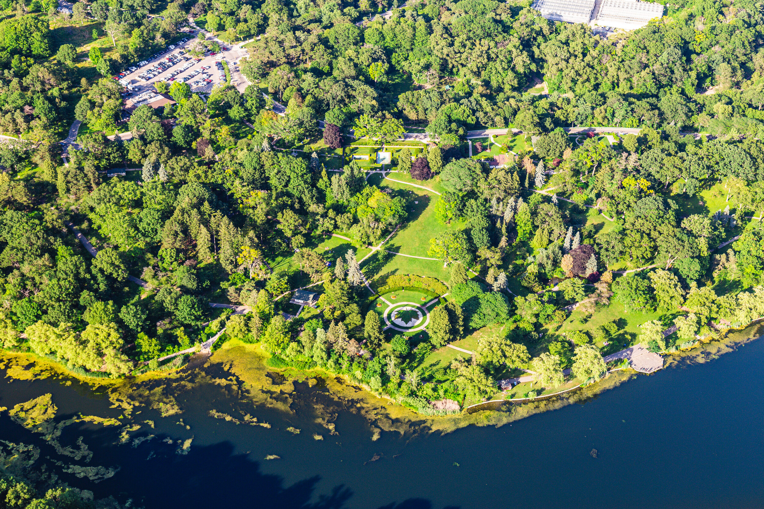
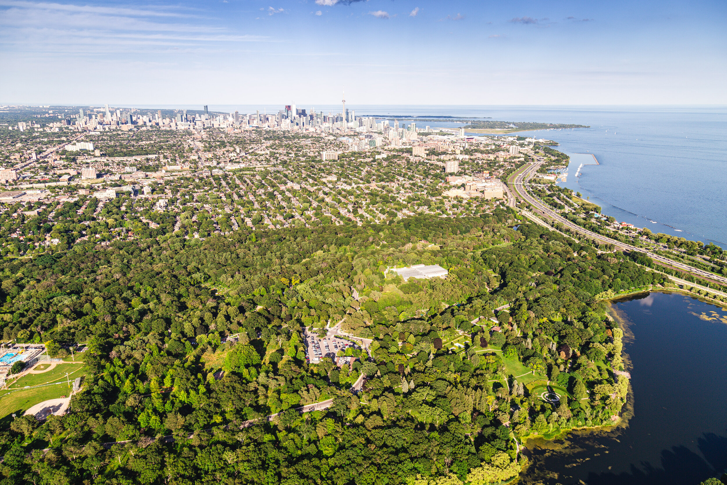
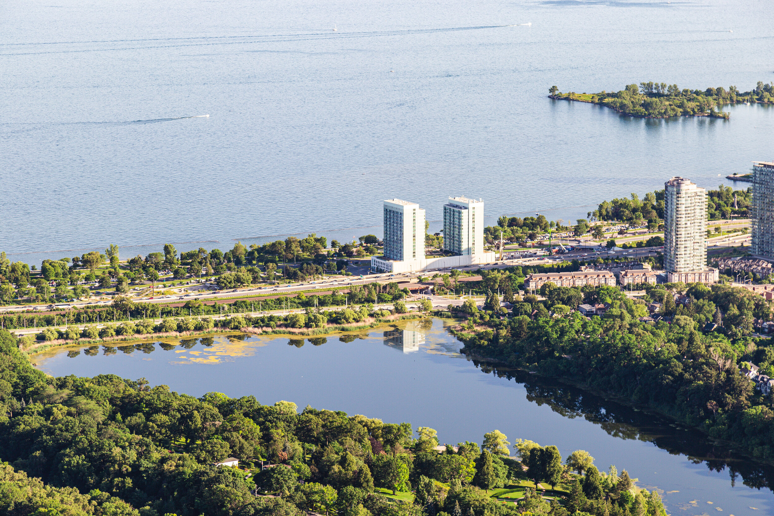
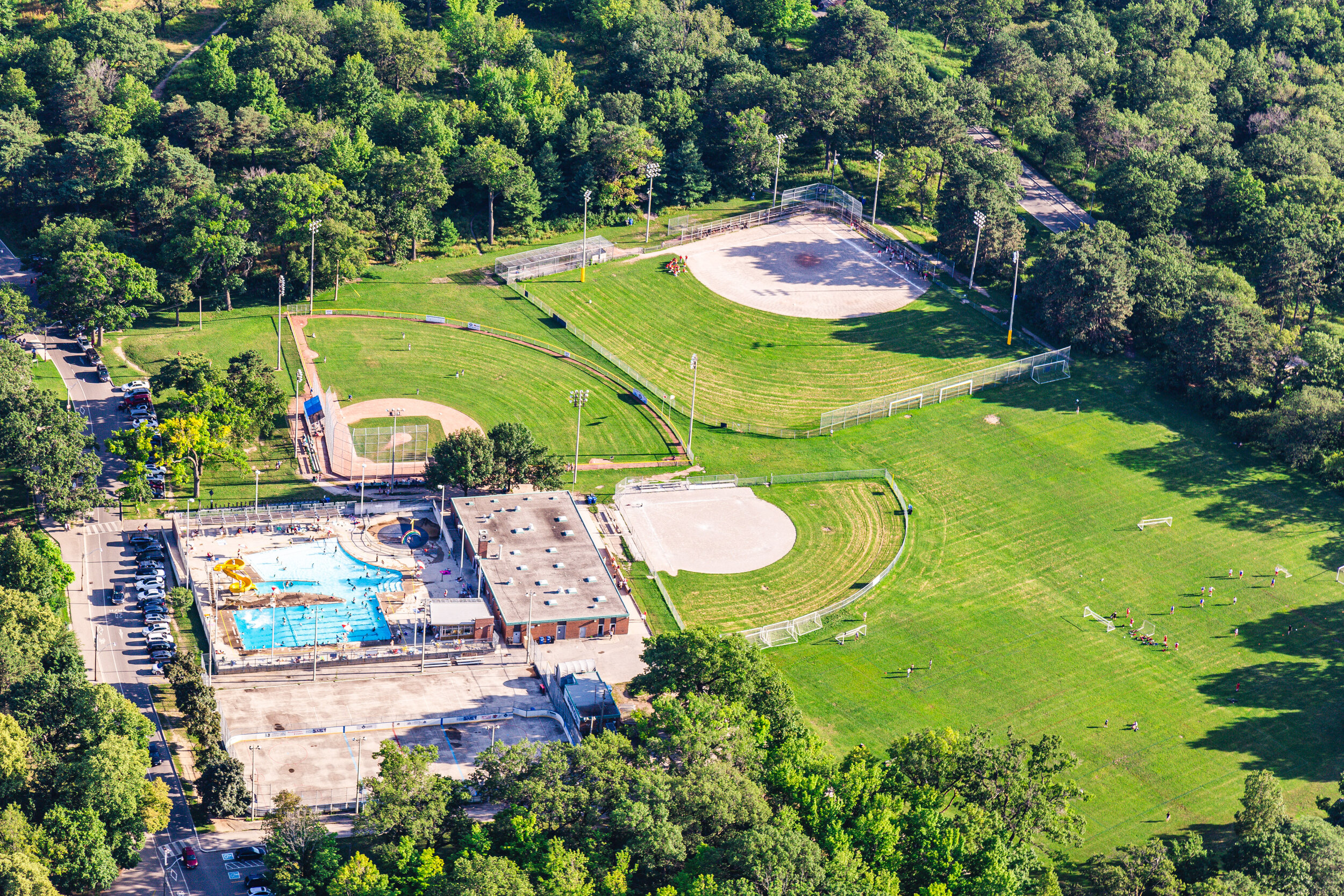
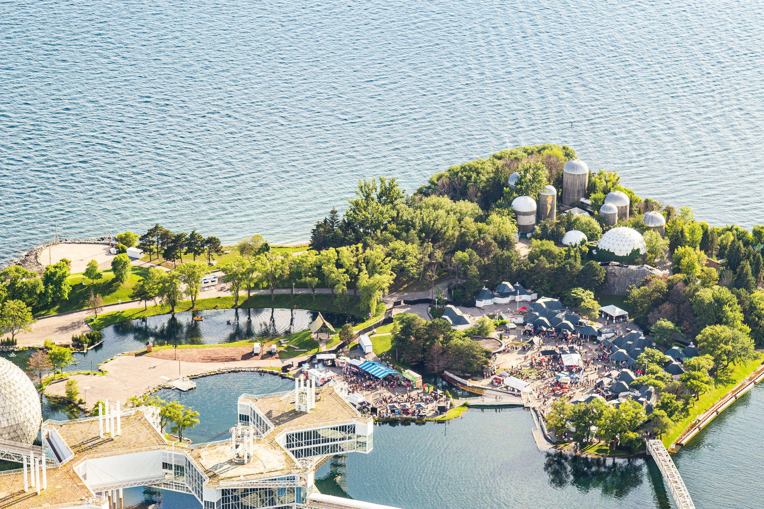
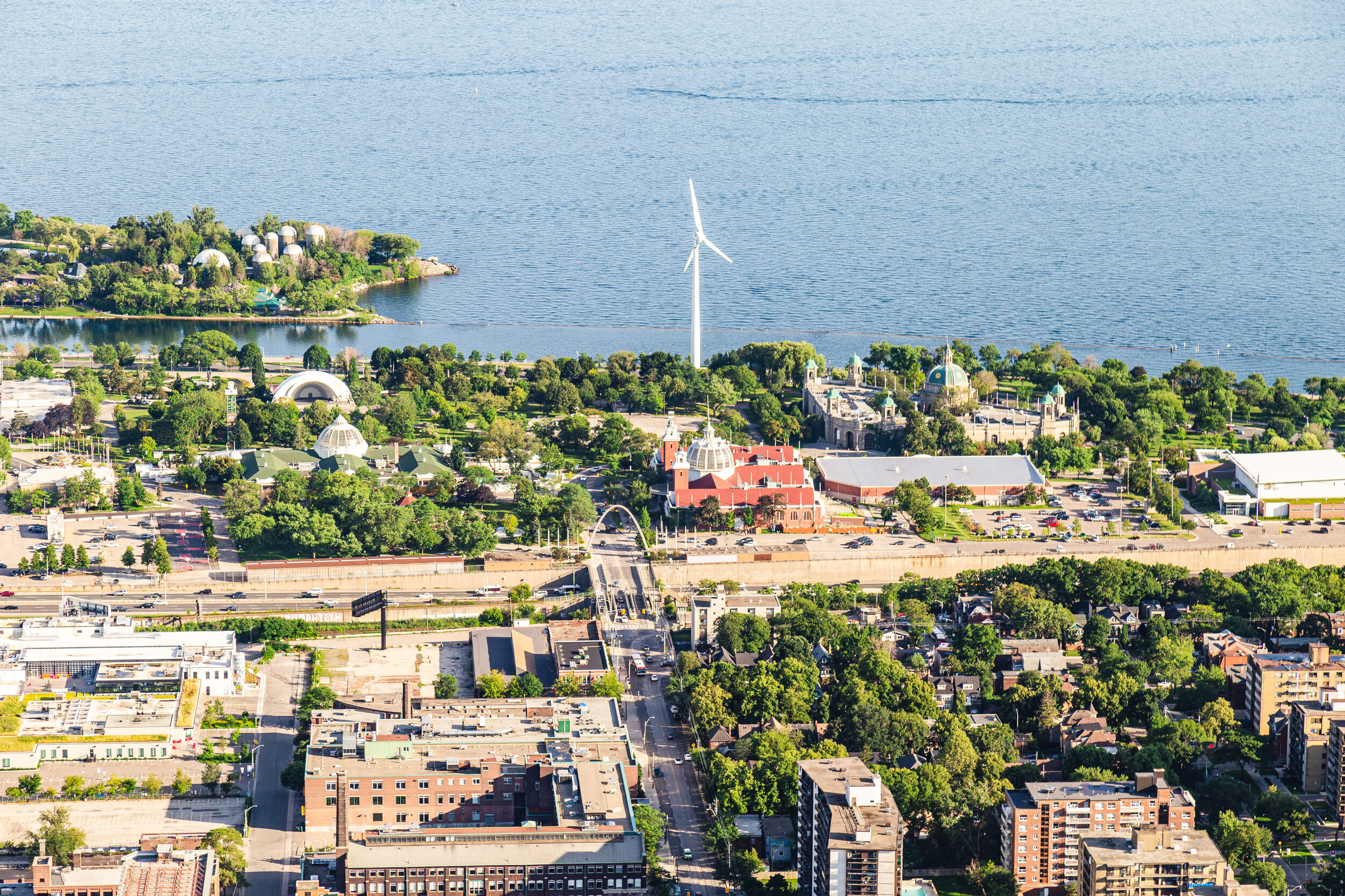
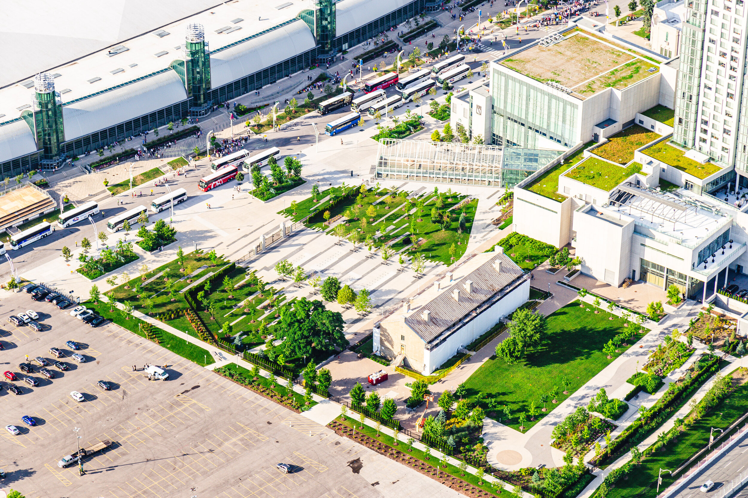
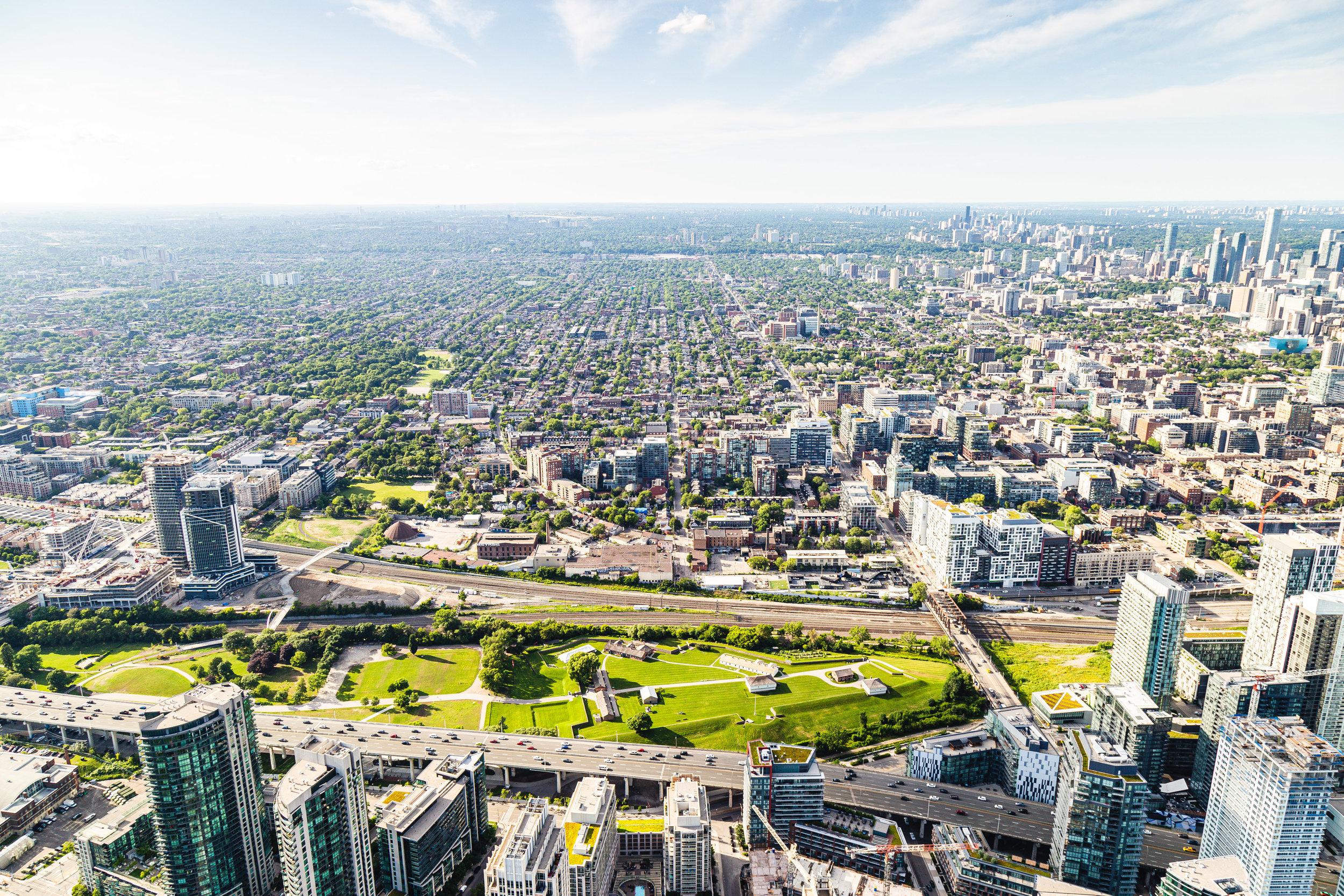
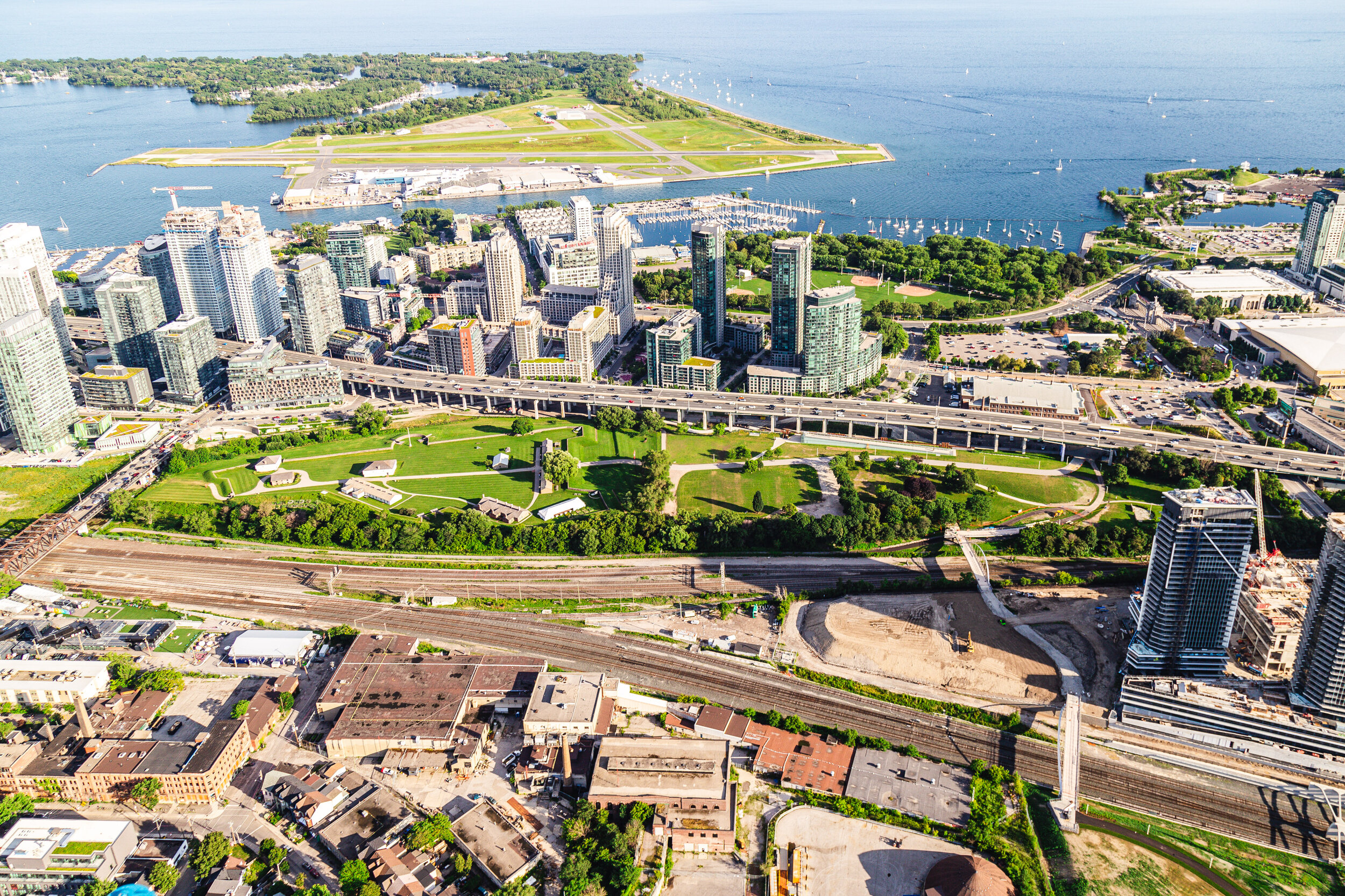
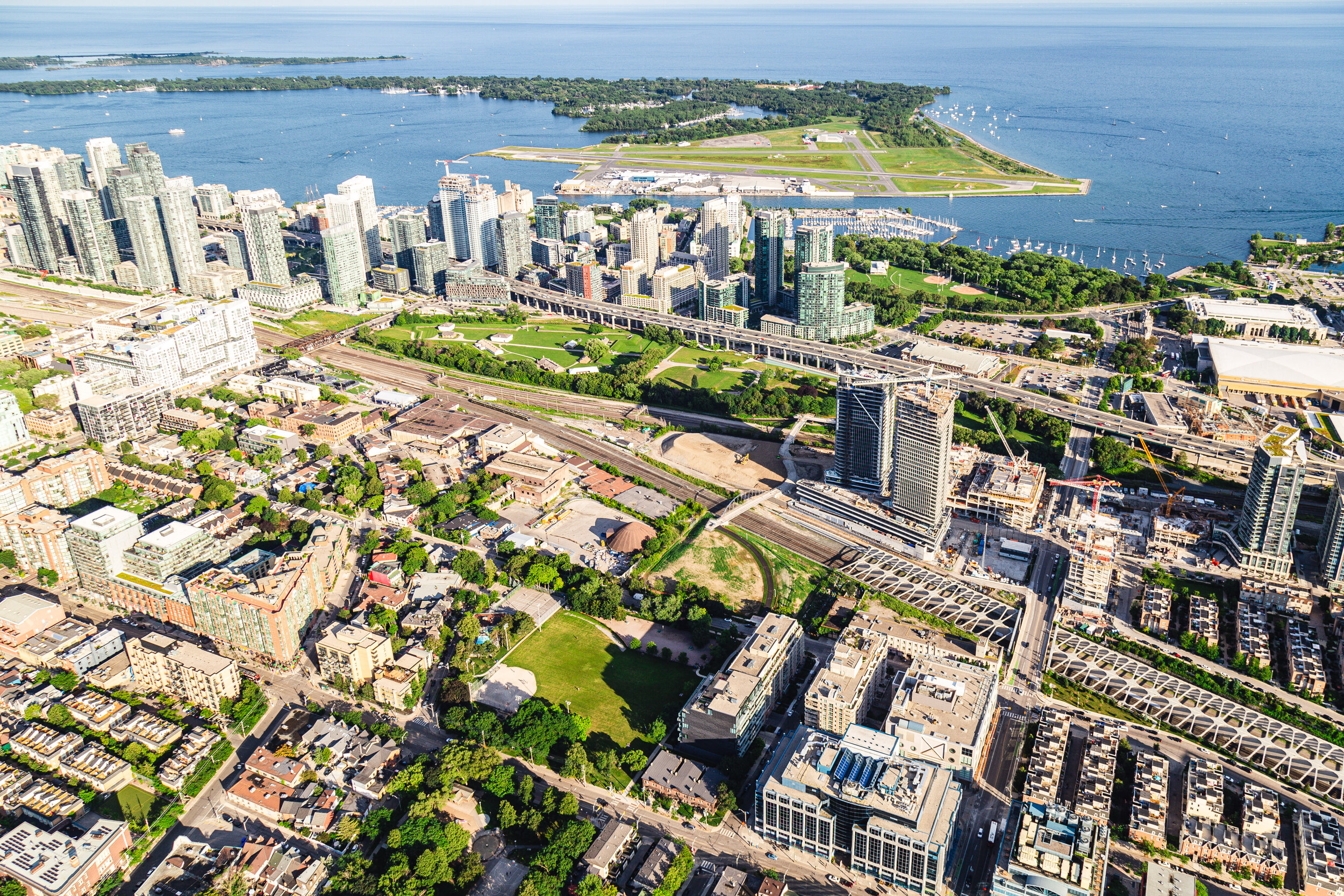
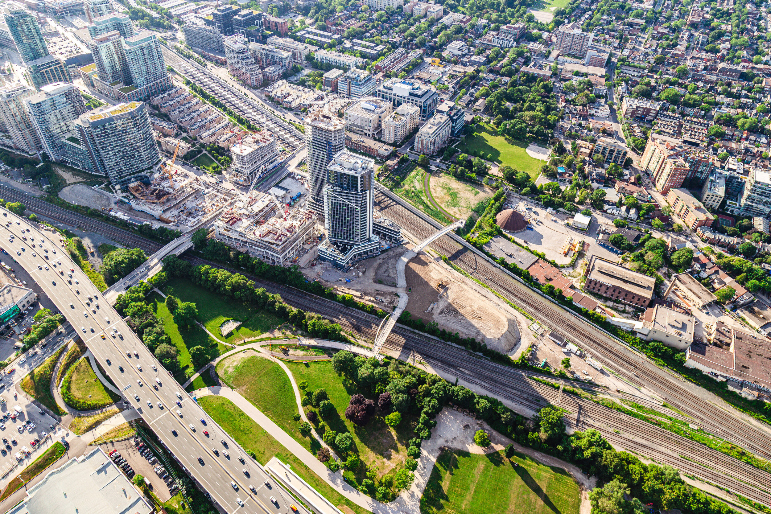
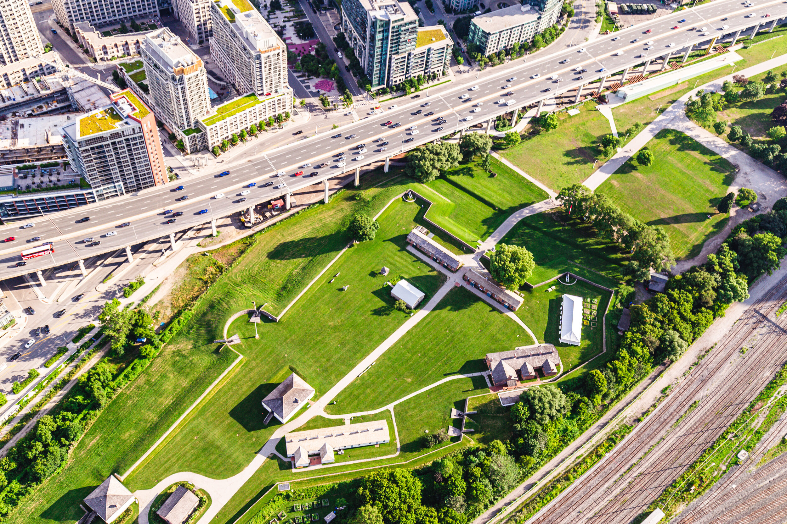
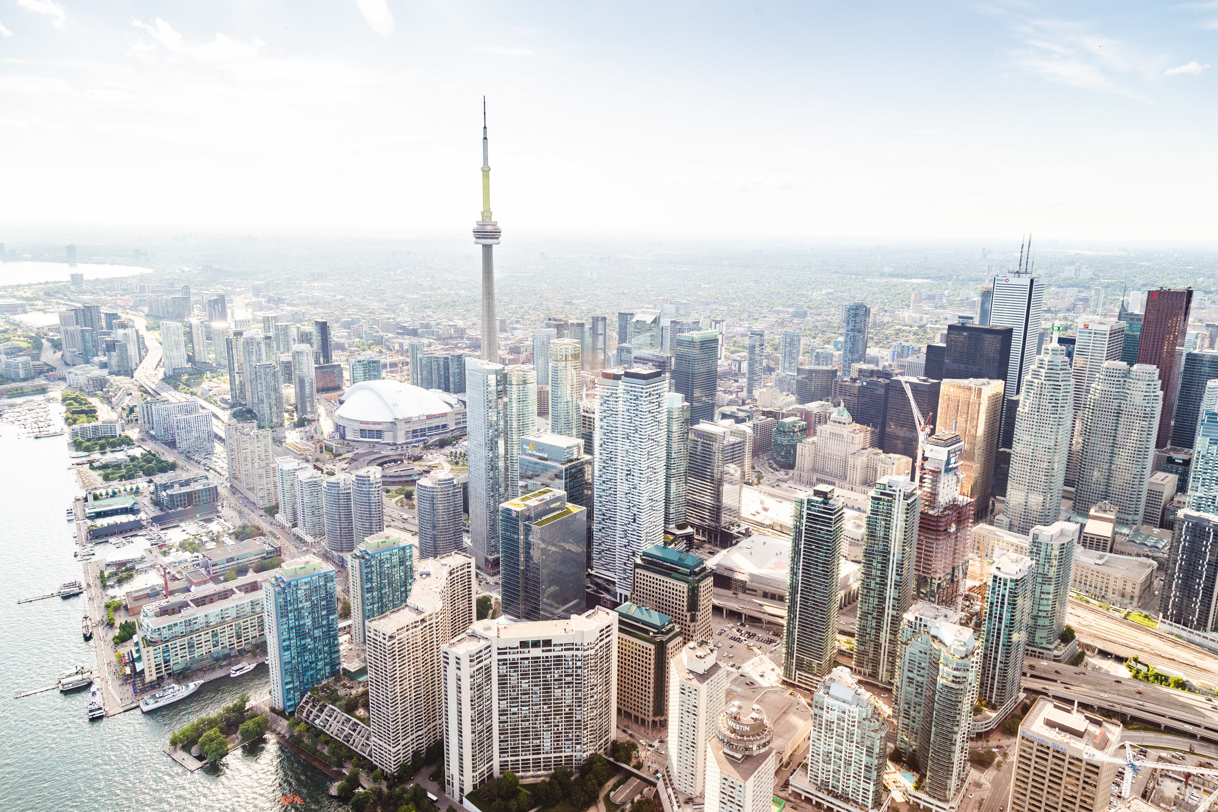
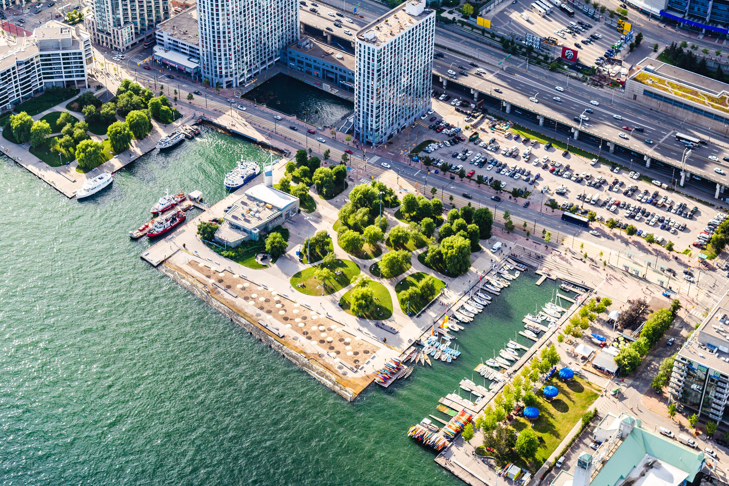
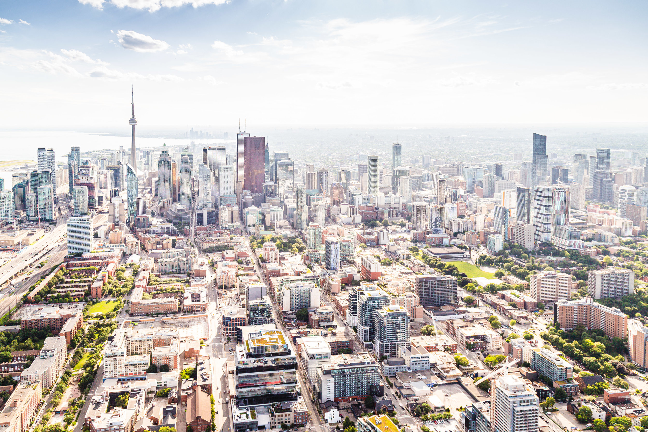
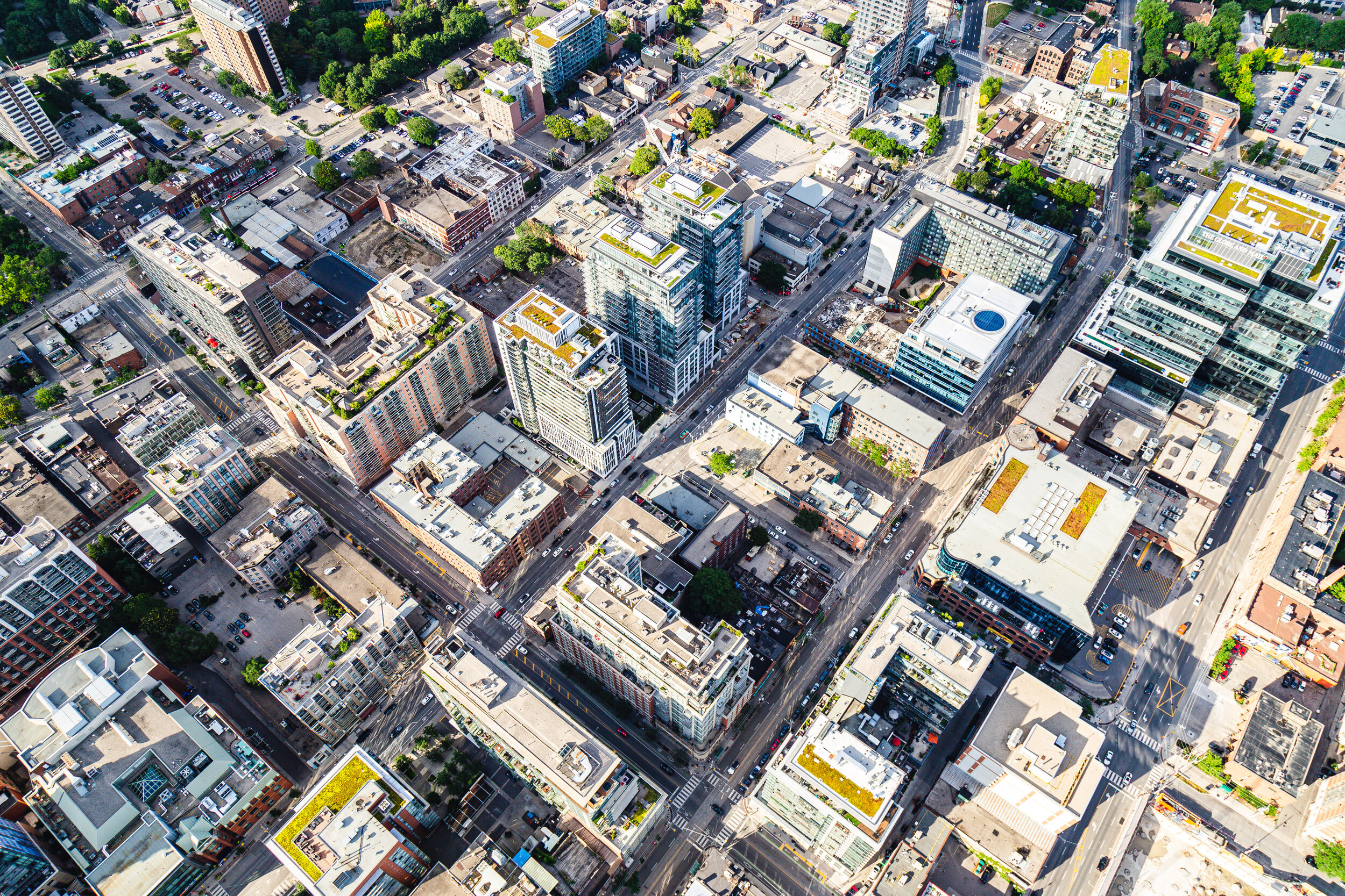
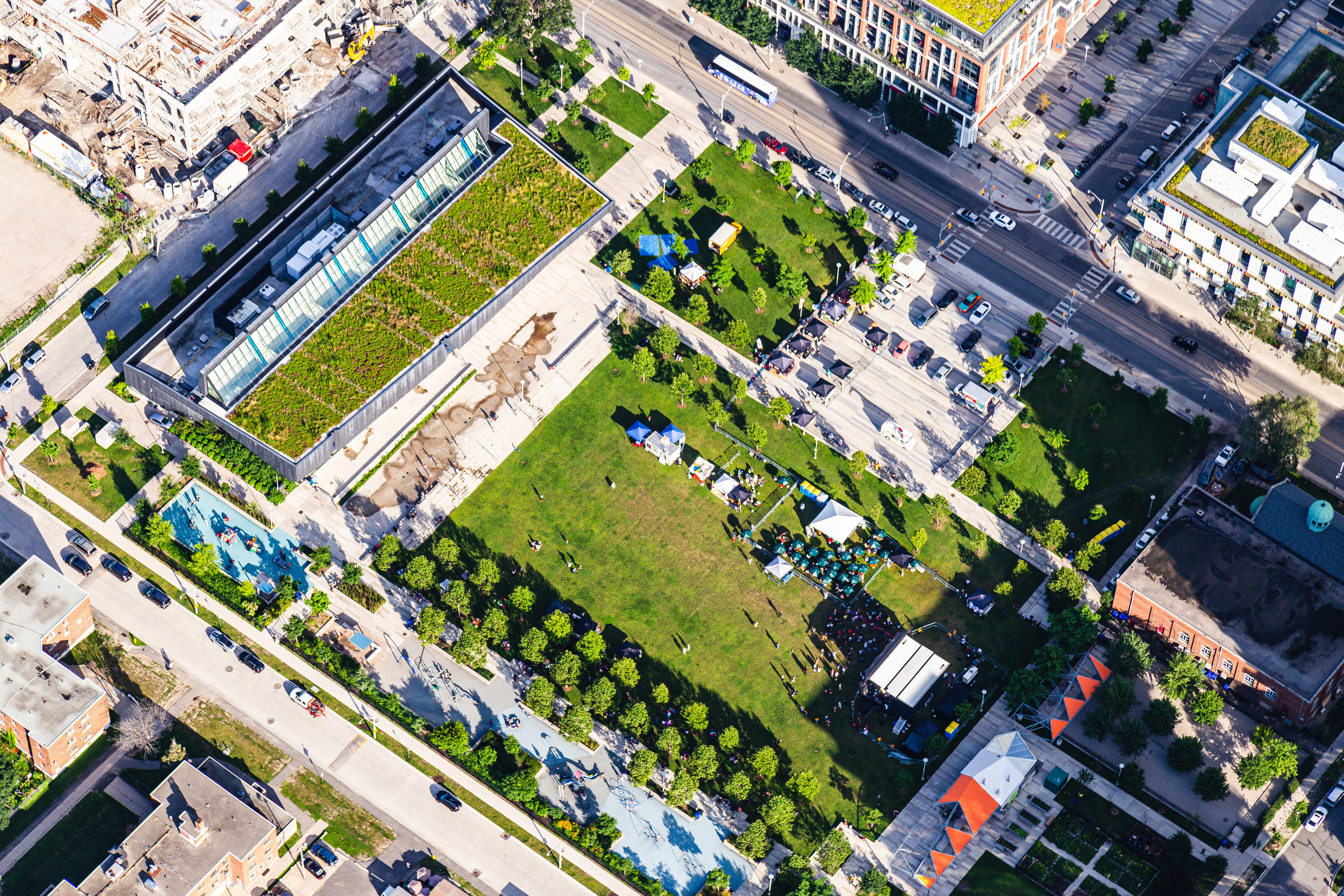
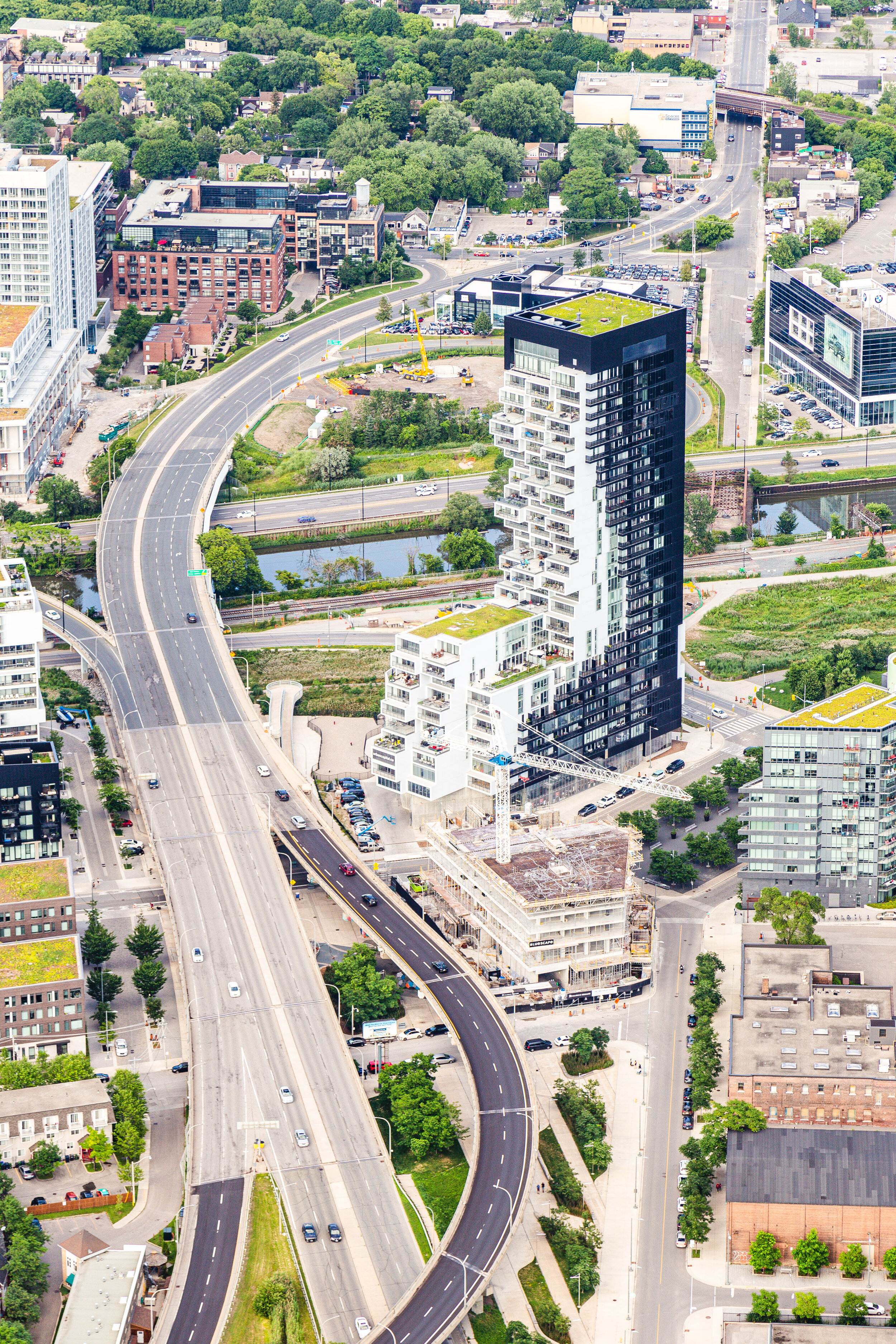
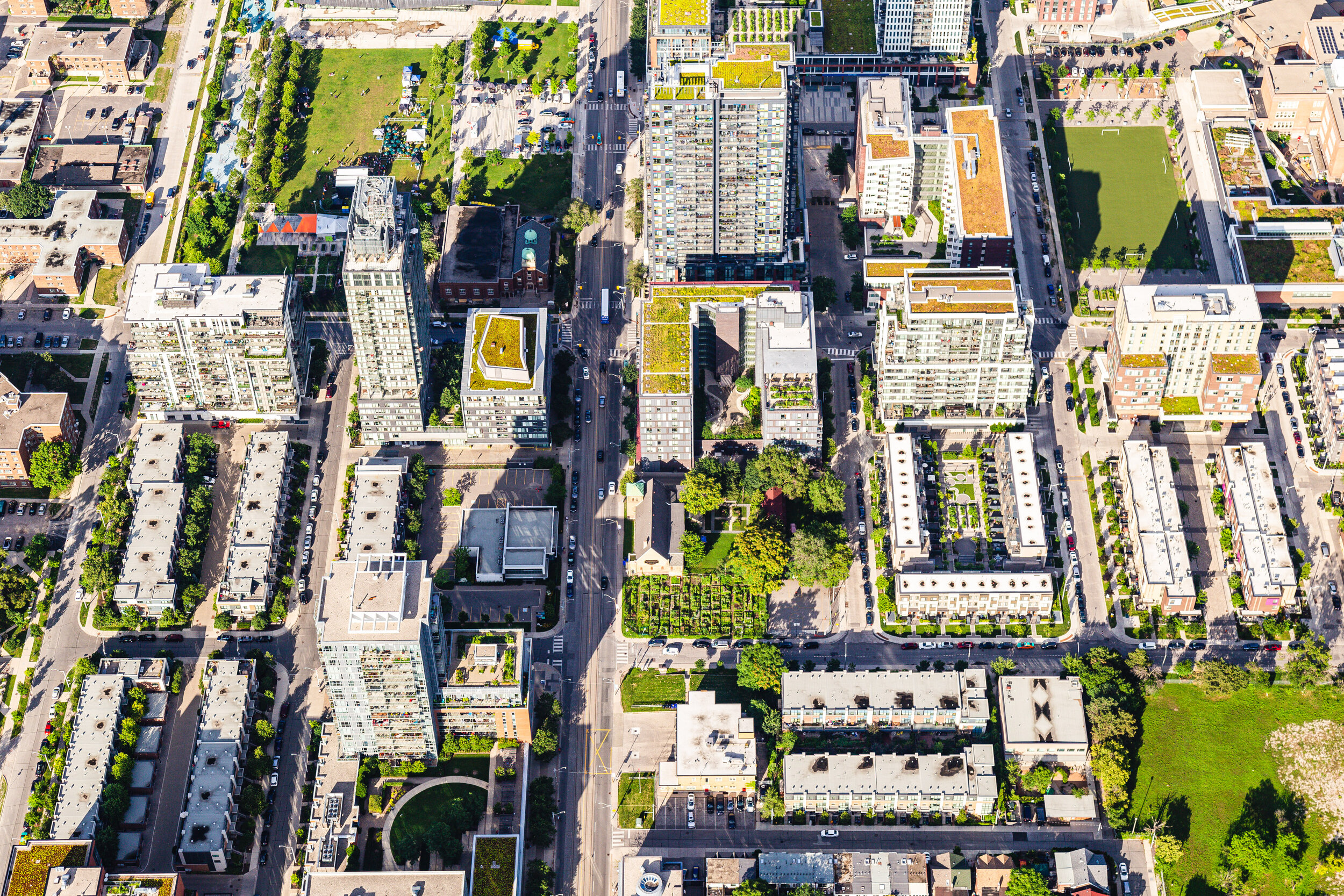
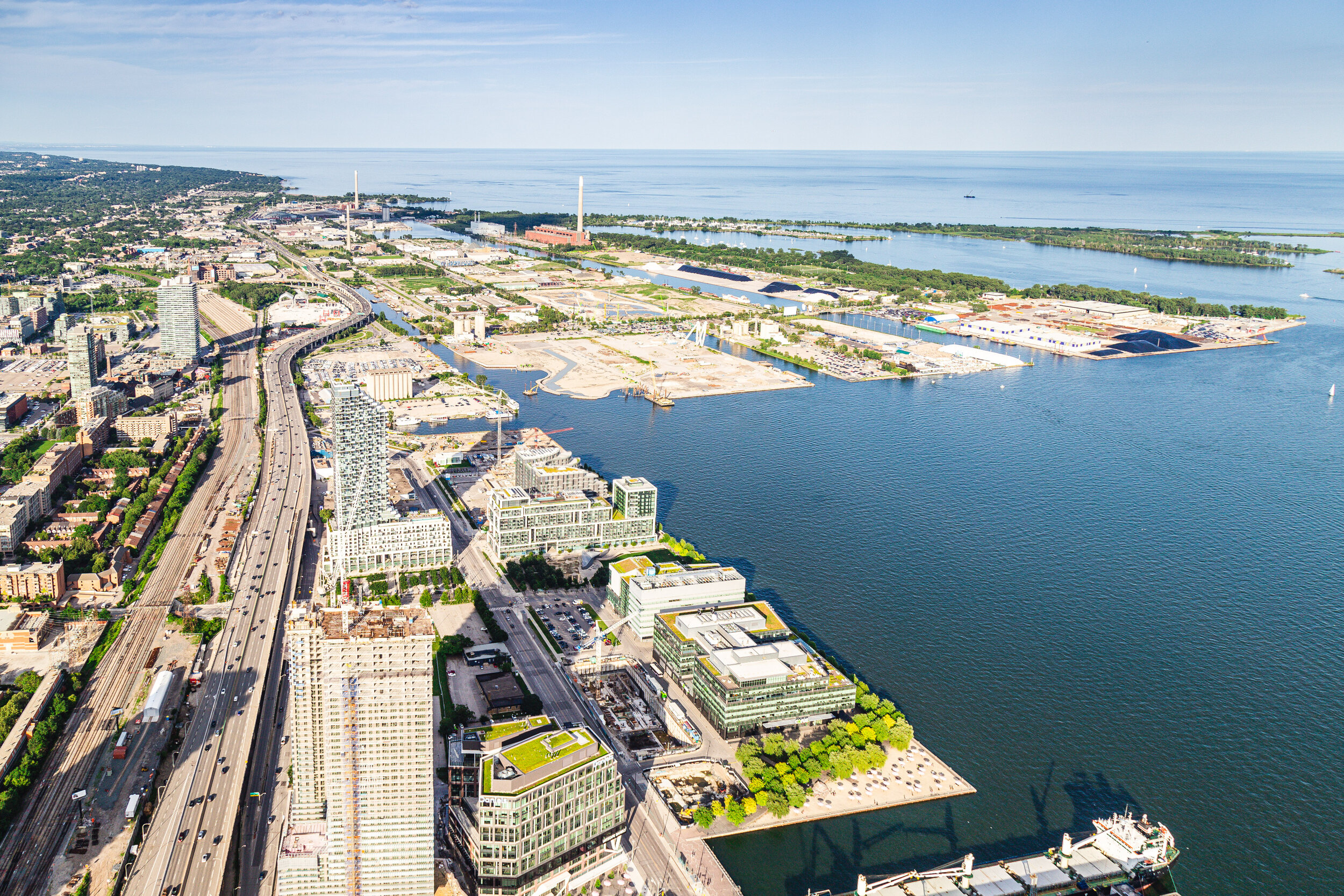
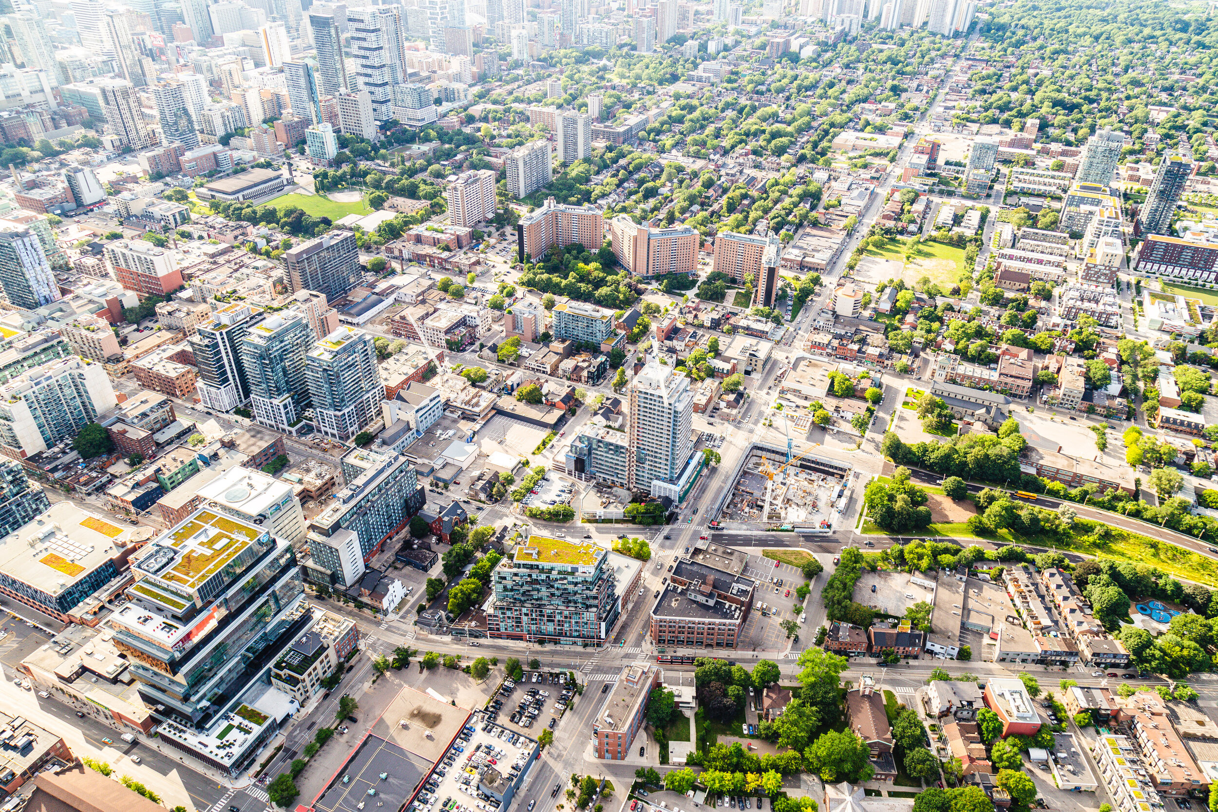
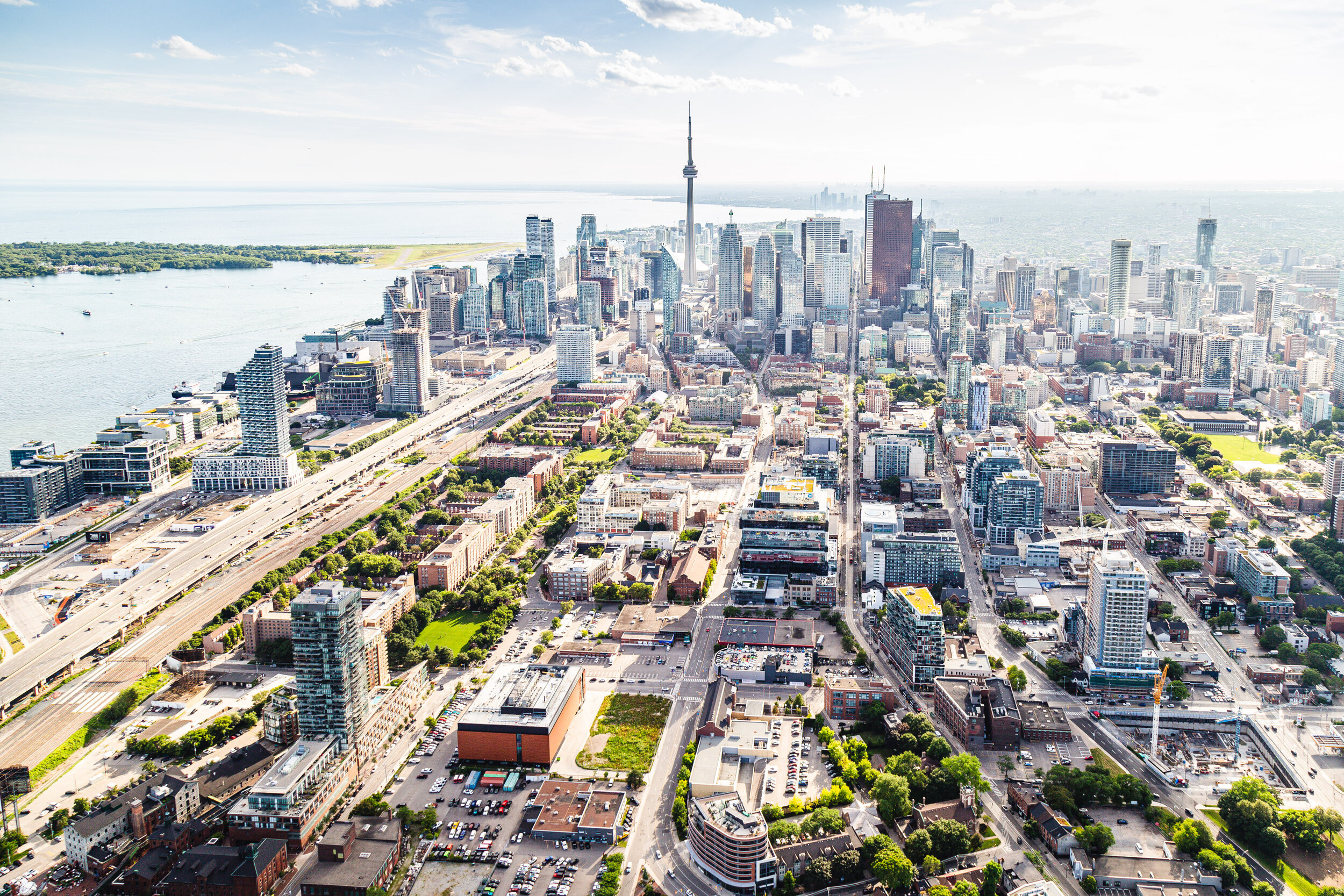
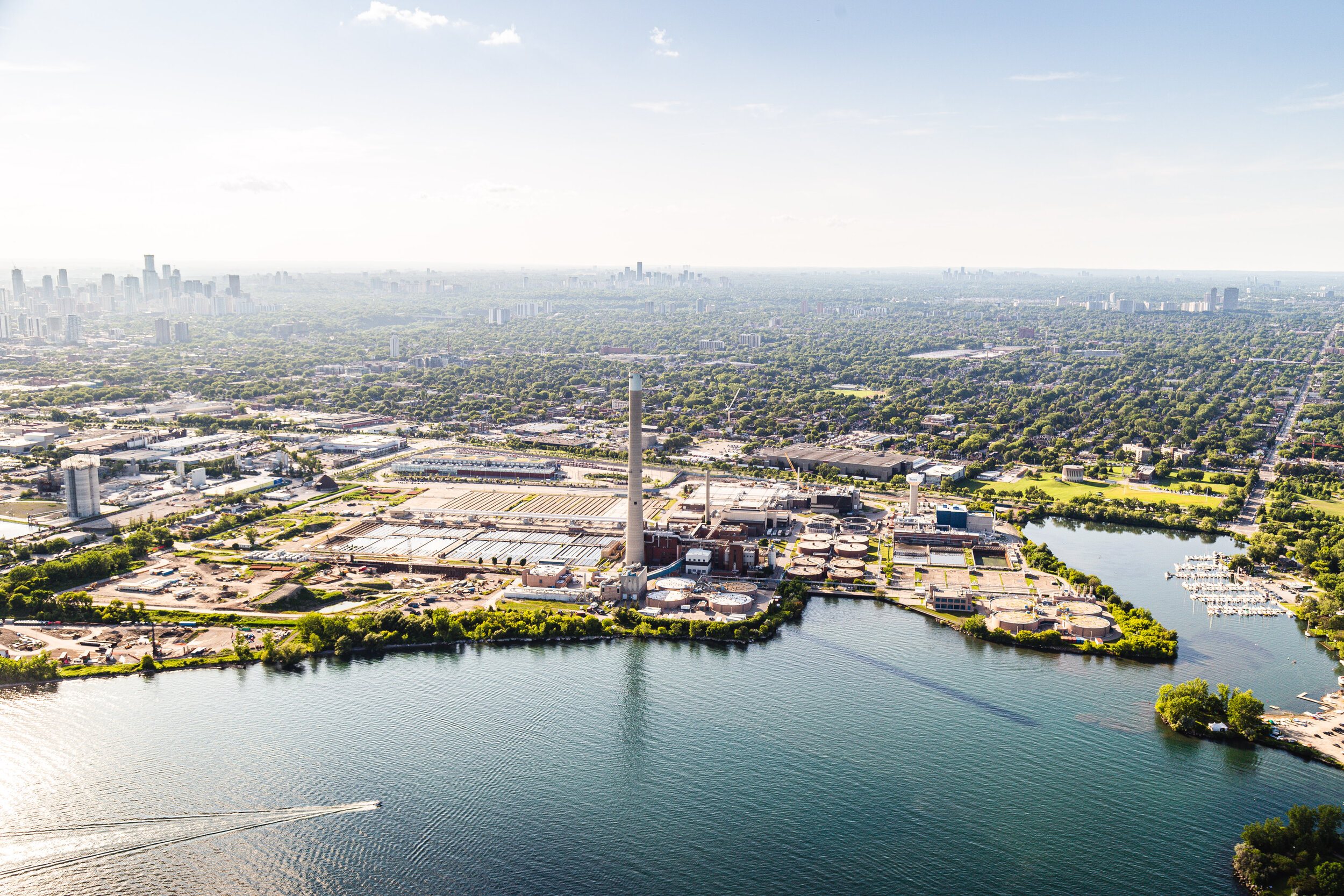
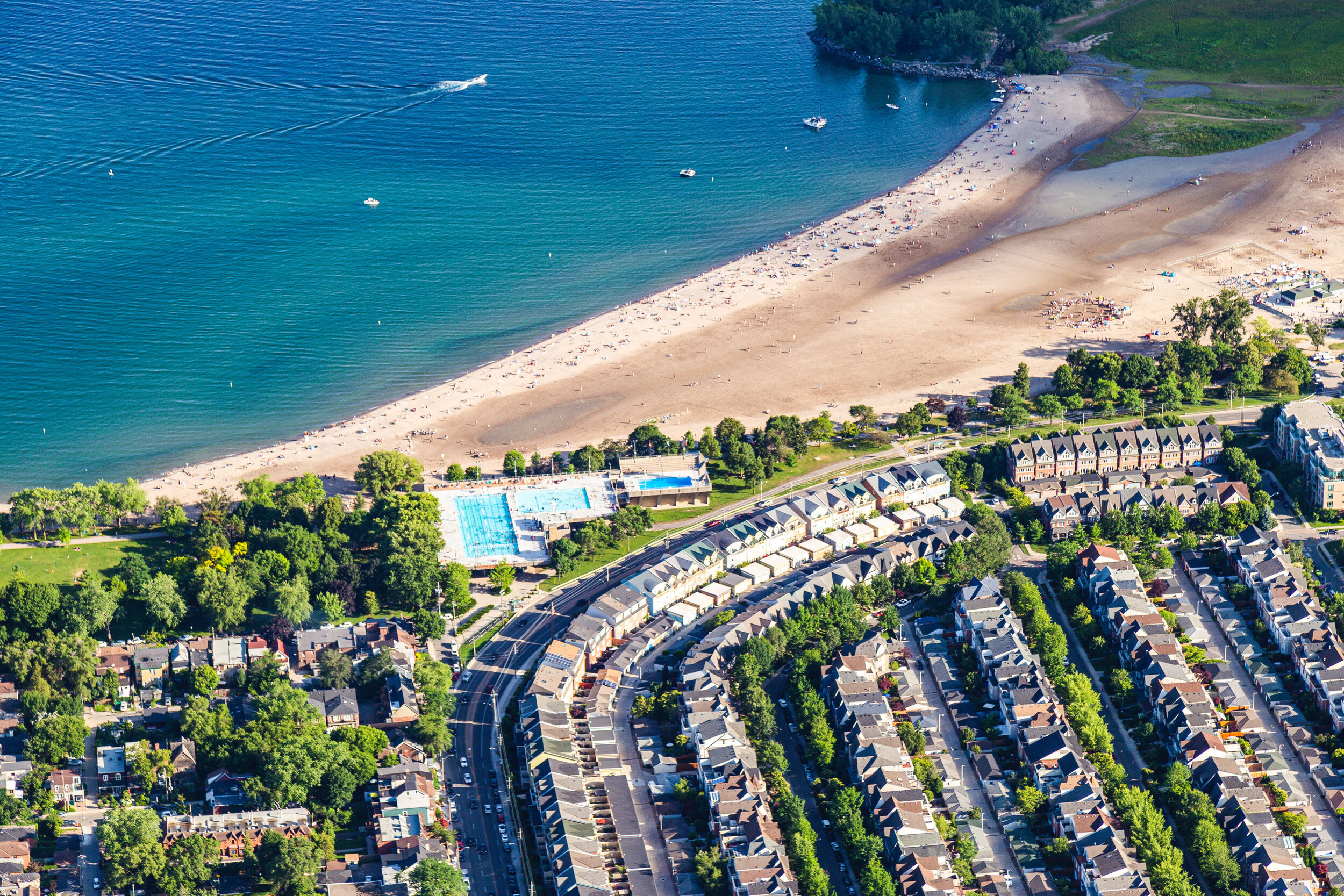
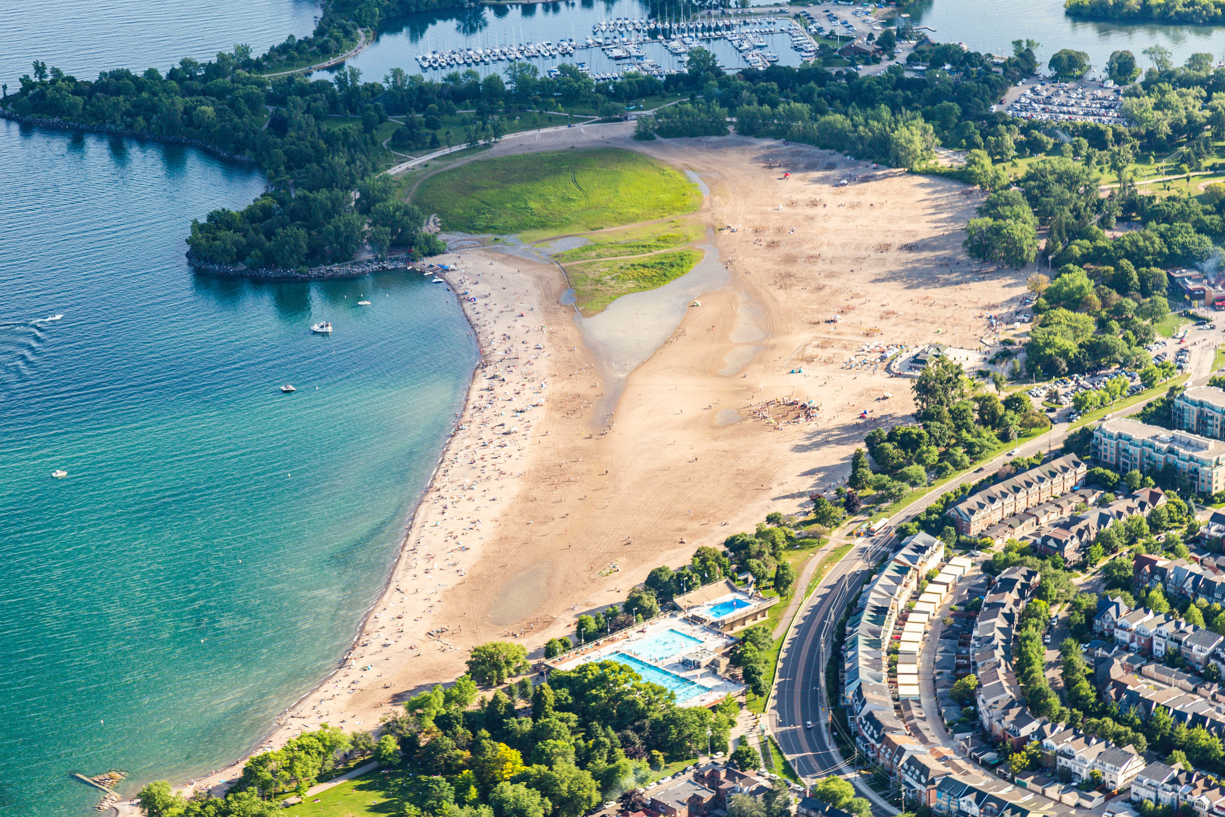
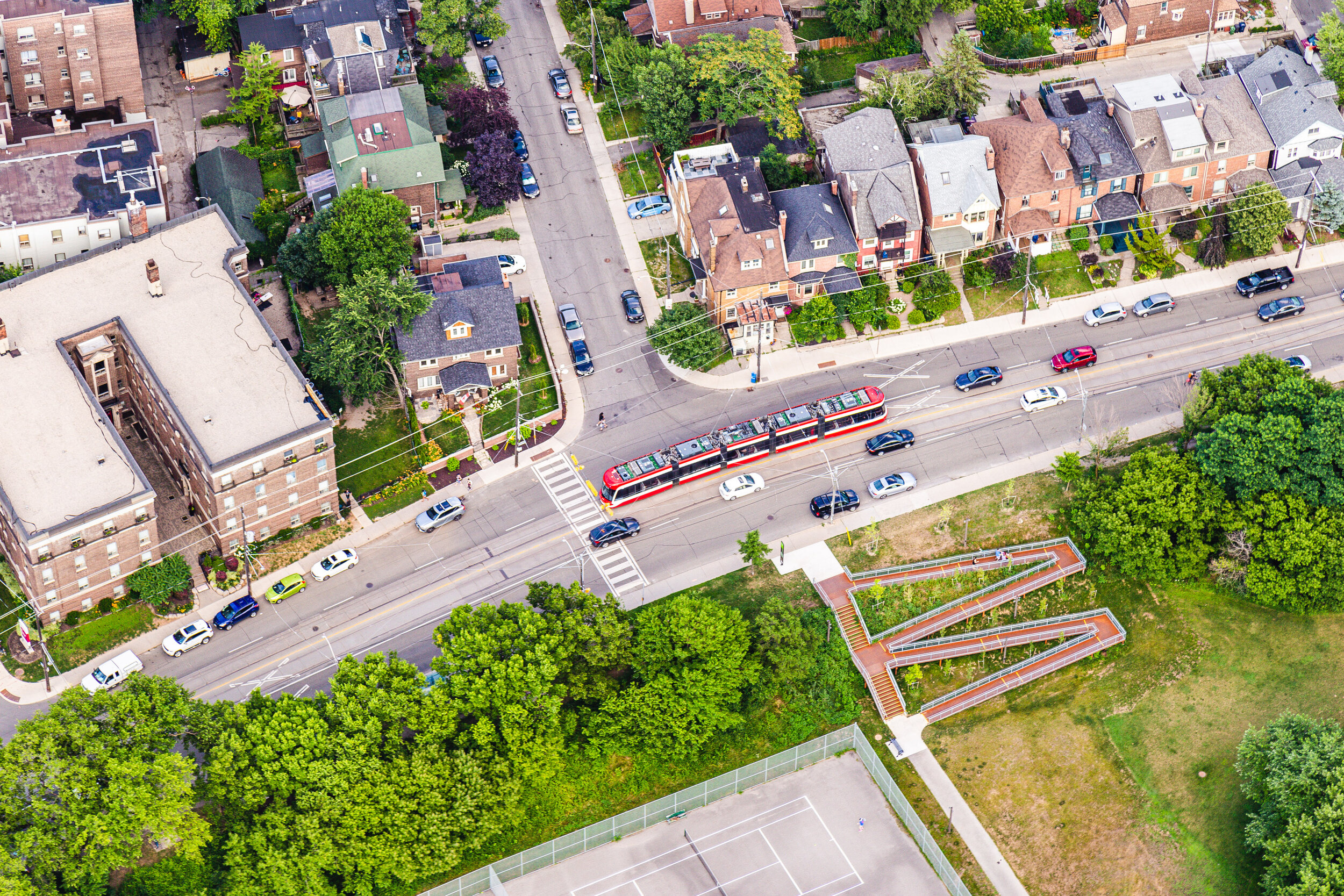
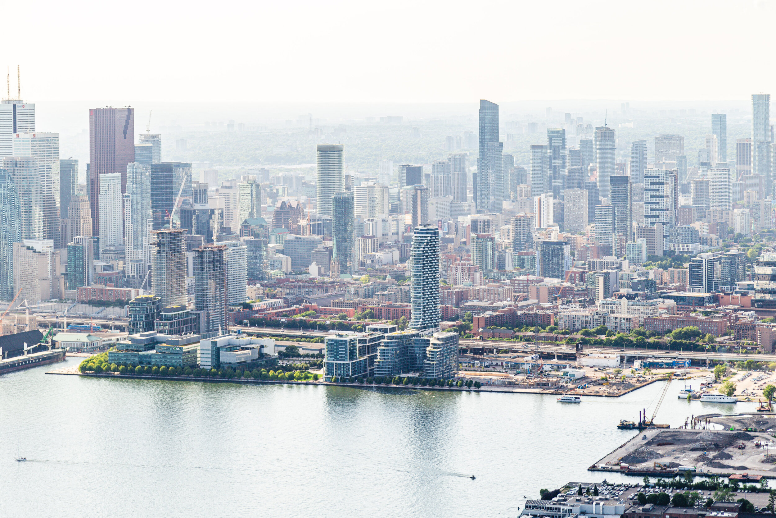
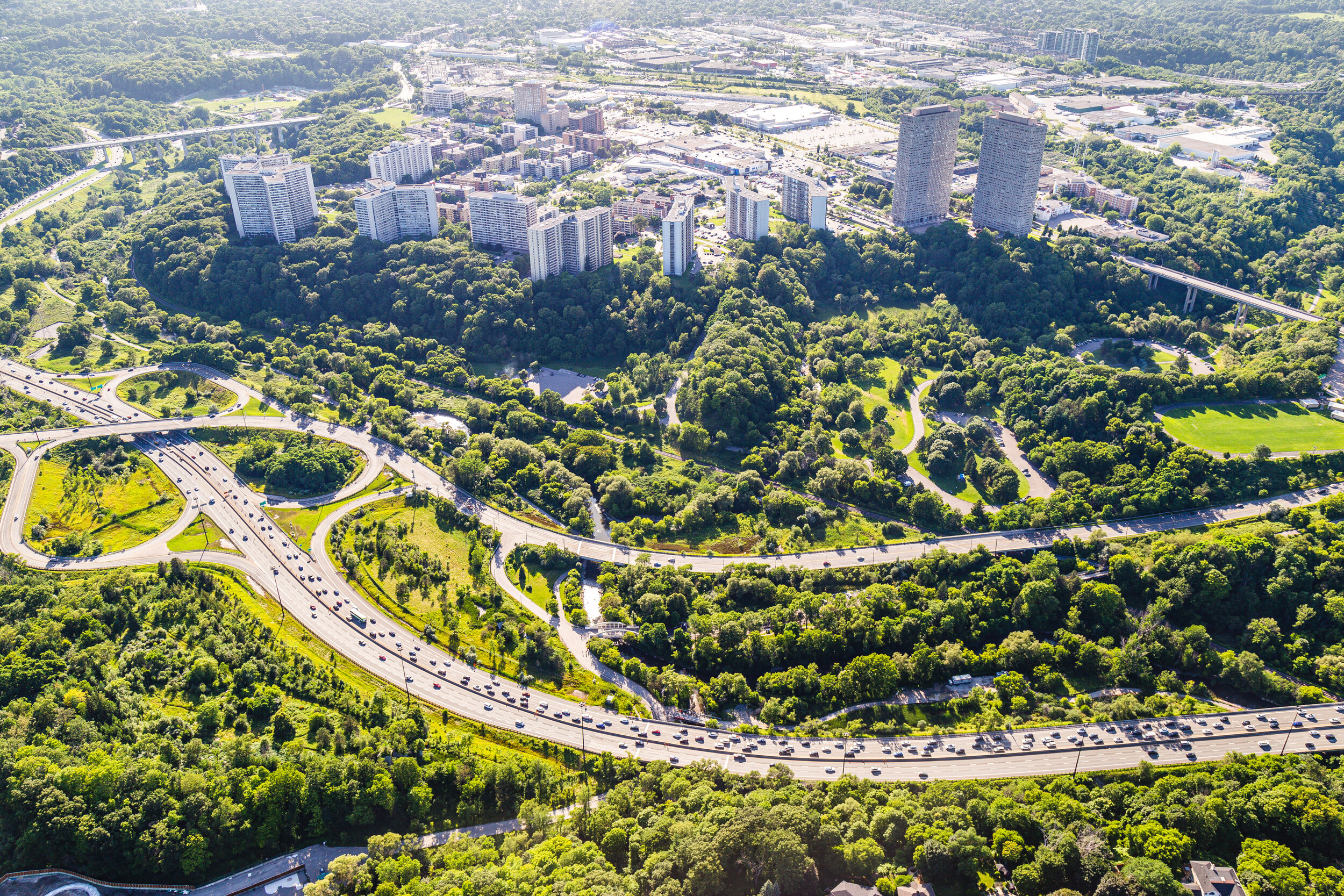
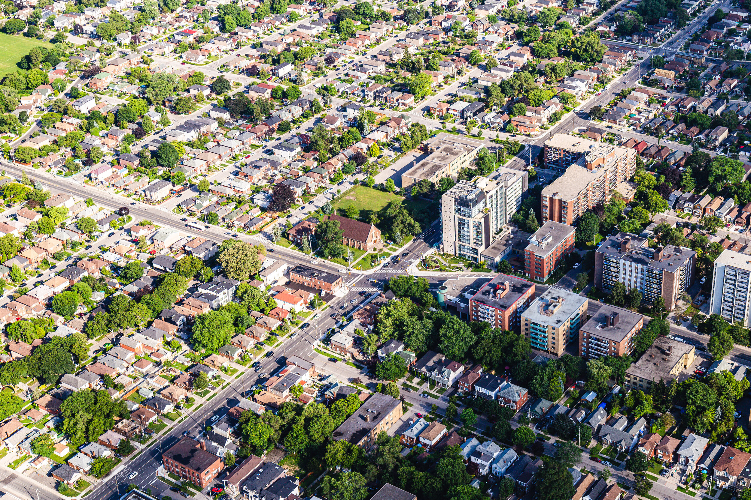
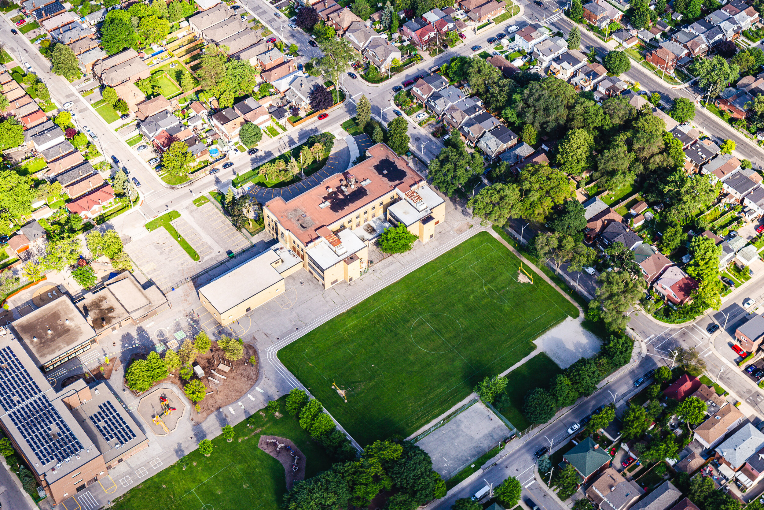
Aerial photography of downtown Toronto, Toronto Islands, the Port Lands and the Waterfront.
Role: Aerial Photography
Location: Toronto, Canada
Year: 2019

Toronto Island Park

Chelsea Beach, Toronto Islands

Centre Island Pier


Avenue of the Island Bridge

Gibralter Point Beach

Lakeshore Avenue near Gibralter Point

Centre & Ward's Island

Skyline view from Billy Bishop Airport

Billy Bishop Airport

Bathurst Quay & Fort York

High Park with Canadian Maple Leaf

High Park Skyline View

View to Sunnyside / Queensway / Lakeshore

High Park Outdoor Pool

Ontario Place West Island

Wind Mill at Exhibition Place

Stanley Barracks at Exhibition Place

Fort York & Garrison Landing

Fort York National Historic Site & Garrison Landing

Stanley Park to Garrison Landing

Garrison Landing Bridge

Historic Fort York & Gardiner Expressway

Old Toronto, CN Tower & Waterfront

HTO Park & Queen's Quay West

Toronto Skyline facing West

St. Lawrence / Green Roof City

Regent Park / Pam McConnell Aquatic Centre

King St East to Lawren Harris Square & Corktown Common

Regent Park & Dundas St. East

East Bayfront & Port Lands

Corktown to Cabbagetown South

Distillery District, Esplanade to Downtown Toronto

Ashbridges Bay

Woodbine Beach

Woodbine Beach & Ashbridges Bay

Riverdale Park East & Broadview Streetcar

East Bayfront from South

Thorncliff Park & ET Seton Park over the DVP

Eglinton East

Schoolyard & Playground
