


The Office of Cheryl Barton, a long-standing, established & respected landscape architecture firm, has designed dozens of completed and mature projects throughout the San Francisco Bay Area. Many of these parks and public spaces had never been photographed from the air. As part of a website refresh, I was hired to photograph some key sites for the office.
On a beautiful October afternoon, we launched from the Hayward Executive Airport with helicopter pilot Jake Lounsbury and captured as much as we could!
Client: The Office of Cheryl Barton
Role: Aerial Photography
Team: Heather Dunbar, Laura Cincotta - Office of Cheryl Barton; Jedidiah Gordon-Moran - Assistant Photographer
Year: 2019
Location: San Francisco & Area
All images are property of O|CB. Text adapted from The Office of Cheryl Barton website.
“Rosie the Riveter” is a cultural icon of World War II, representing the women who worked in factories and shipyards during World War II, many of whom produced munitions and war supplies.
These women sometimes took entirely new jobs replacing the male workers who joined the military.
Rosie the Riveter is used as a symbol of American feminism and women's economic advantage.
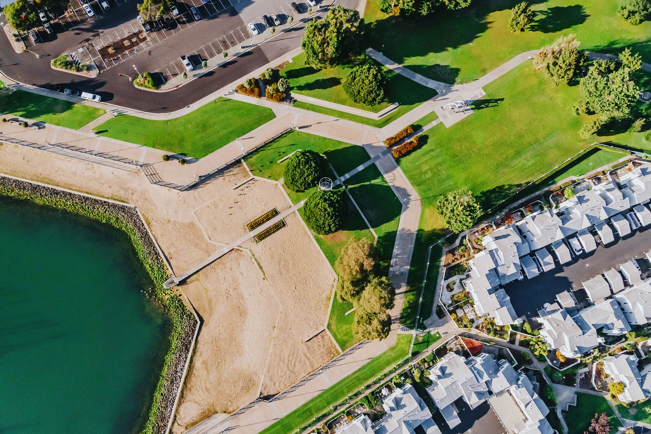
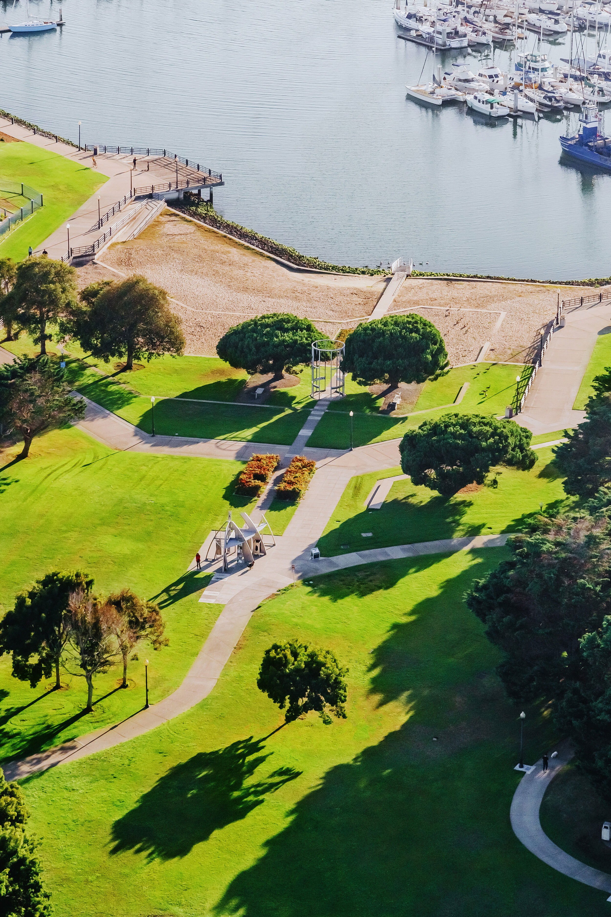
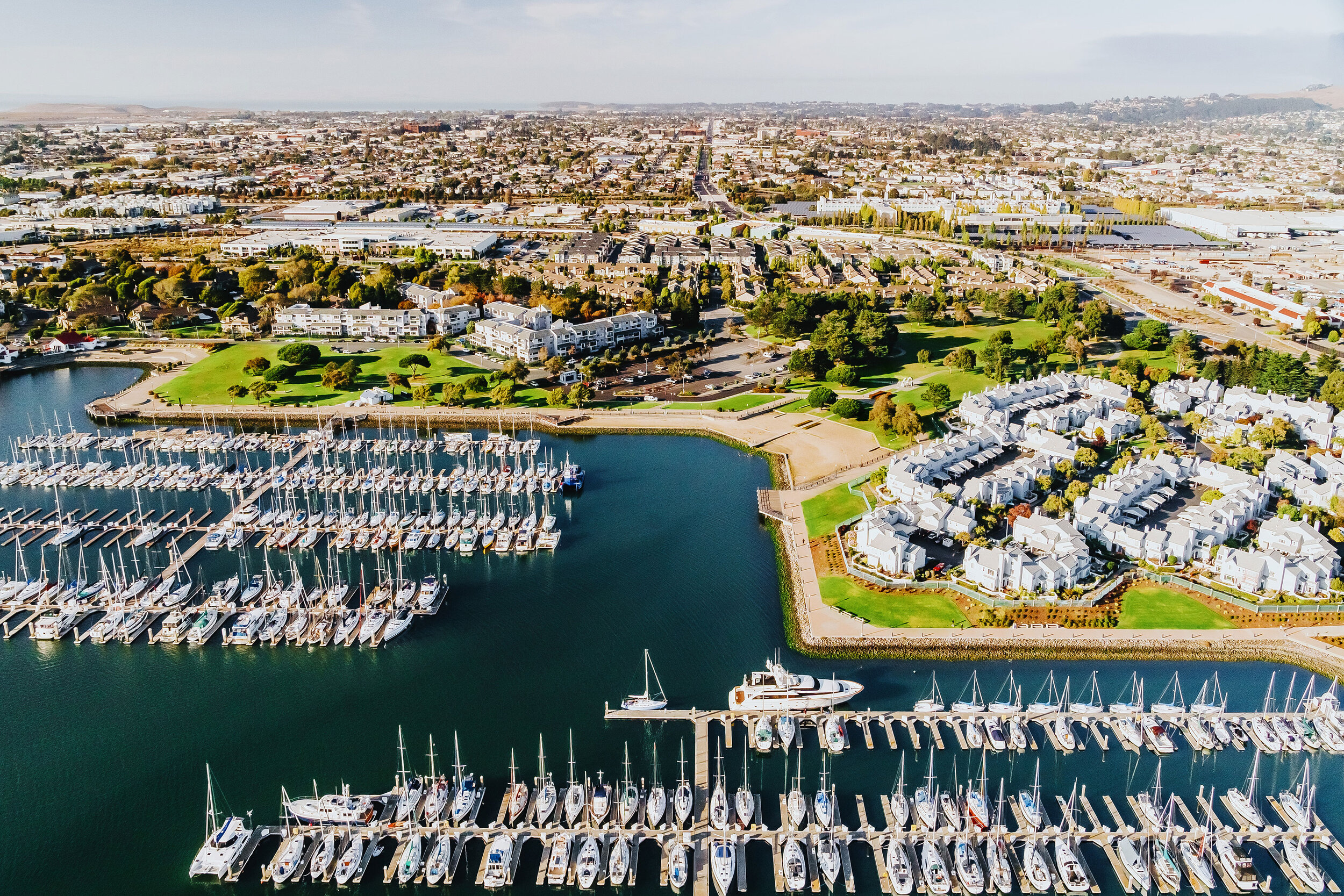
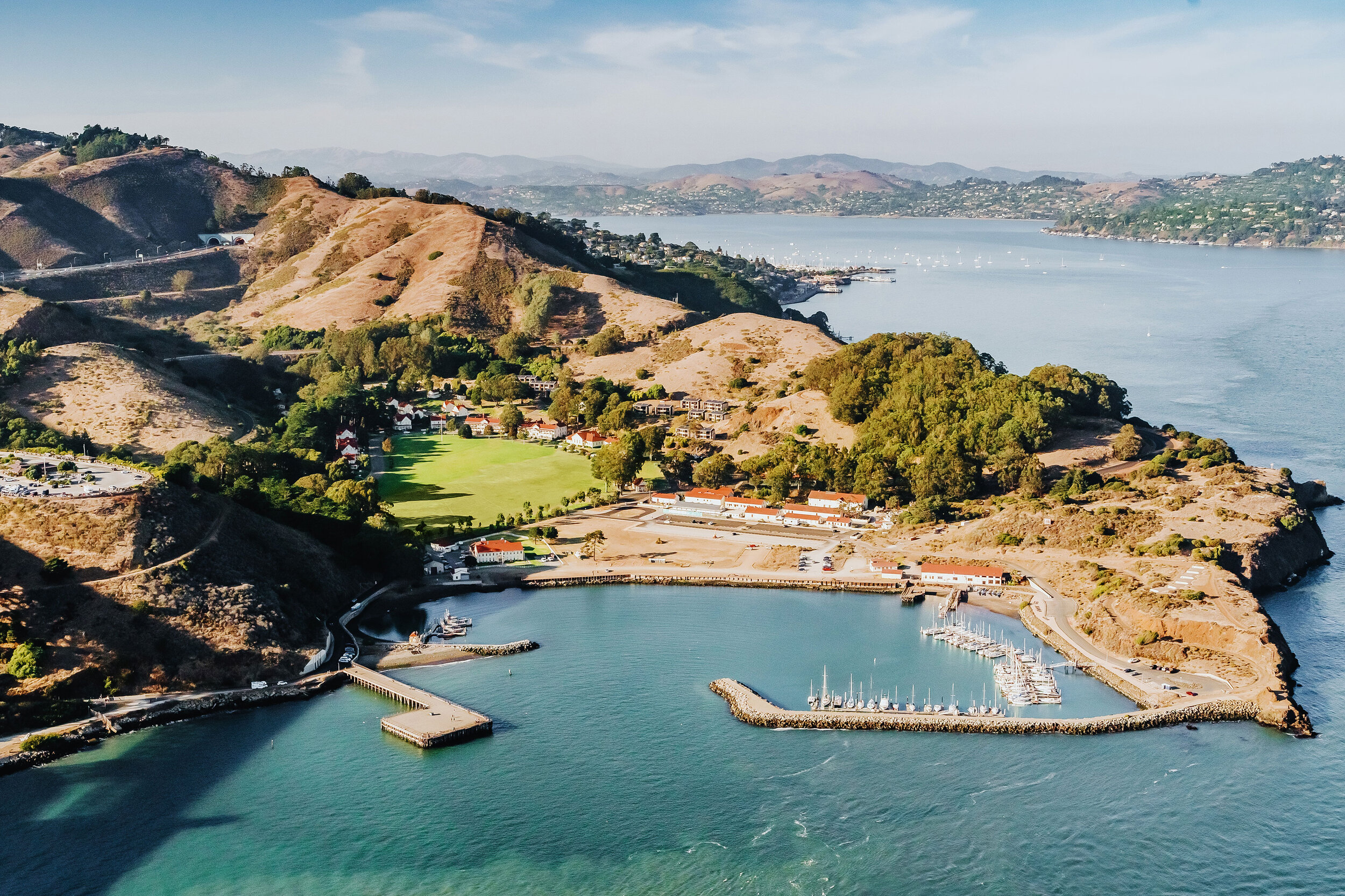
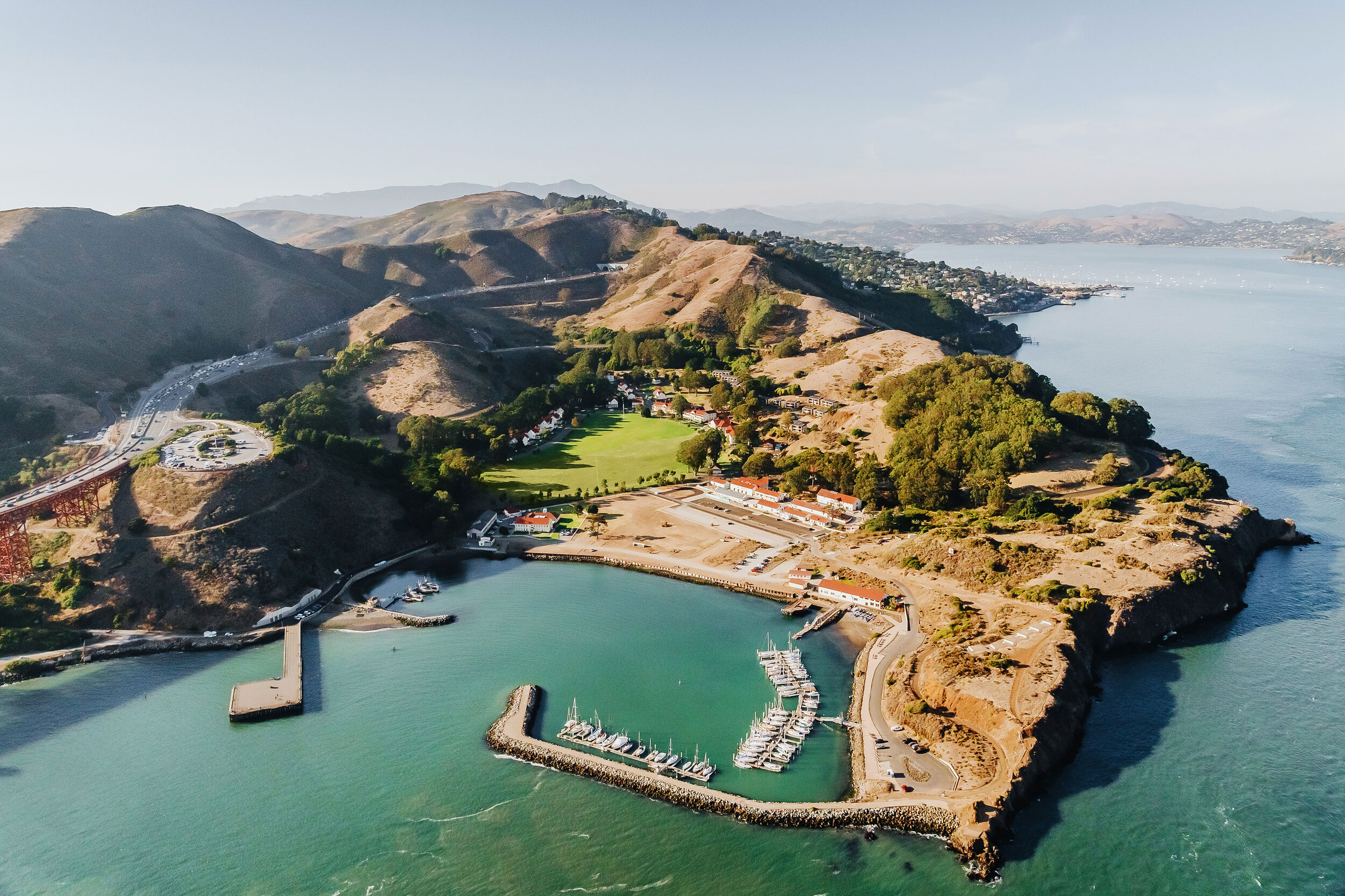
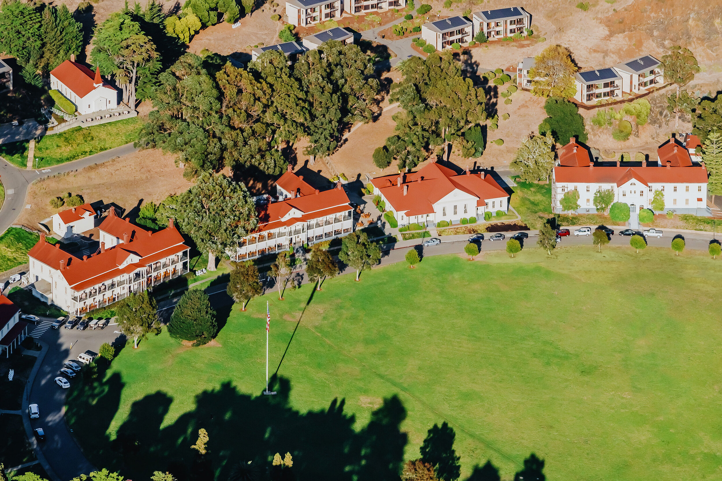
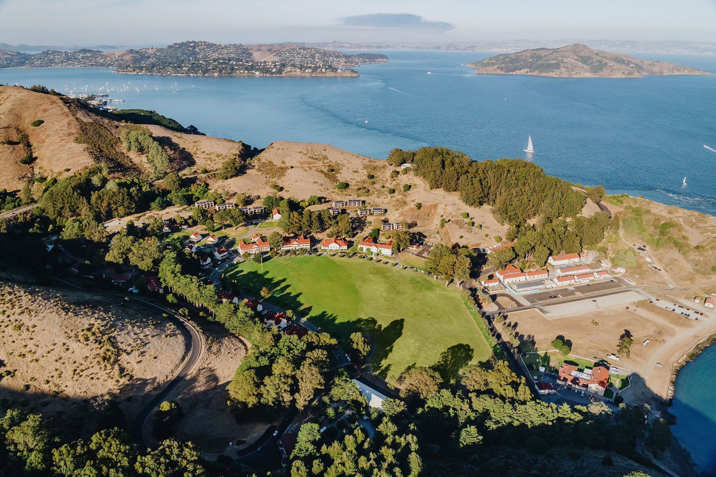
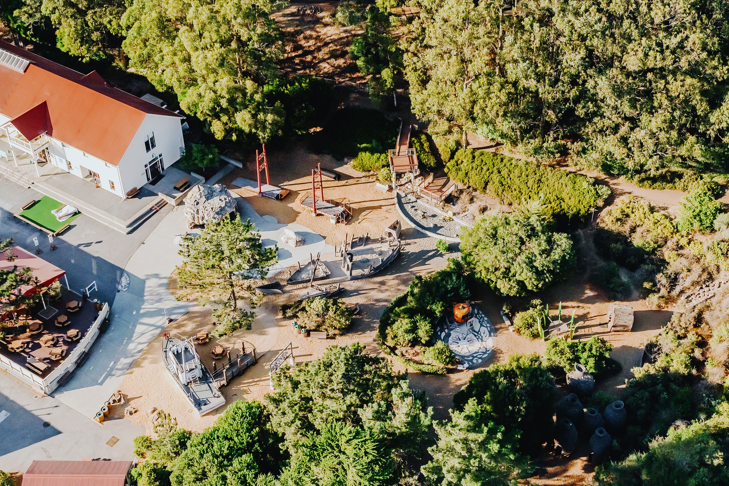
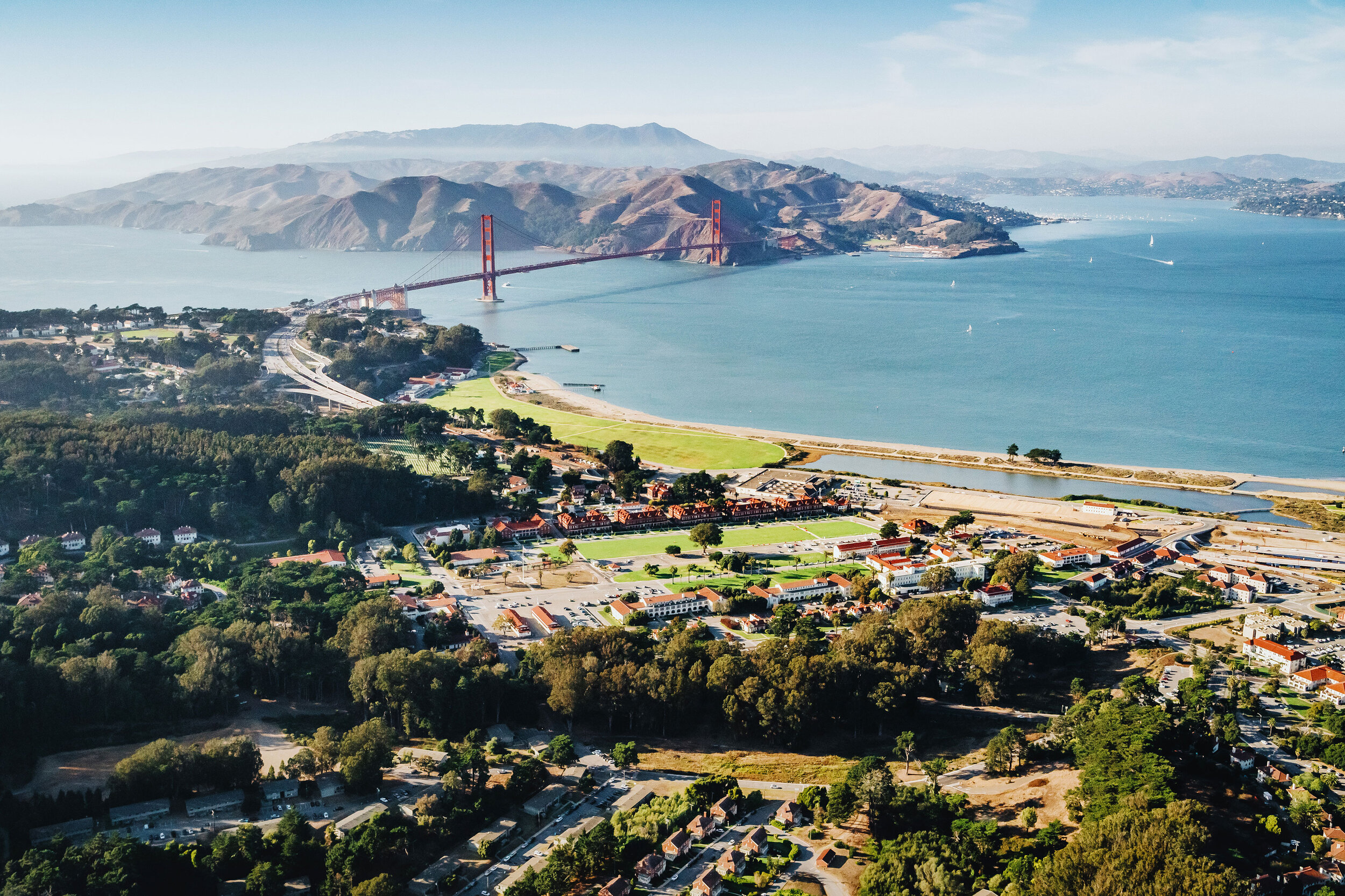
The ‘post-to-park’ transformation of Fort Baker to Cavallo Point demonstrates the potent interrelationship between sustainable, contemporary design and cultural landscape rehabilitation. Adaptive reuse of this 40-acre National Landmark District resulted in a state-of-the-art conference center, the restoration of endangered habitat and the regeneration of 27 acres of public open space.
Based on the minimalist and utilitarian character of the former military outpost, the landscape design subtly transforms the site for human comfort.
Linked pathways, prospects, dining terraces, fire pits and moveable chairs create spaces for congregation and quiet contemplation. The removal of invasive trees has opened views to the Bridge and Bay which have not been available for 100 years.
The most dramatic transformation was the restoration of the coastal scrub habitat with genetic natives—58,000 plants propagated from seed harvested on the Cavallo Point site. Guest quarters are now immersed in a sensory and educational experience within a rich native landscape tapestry.
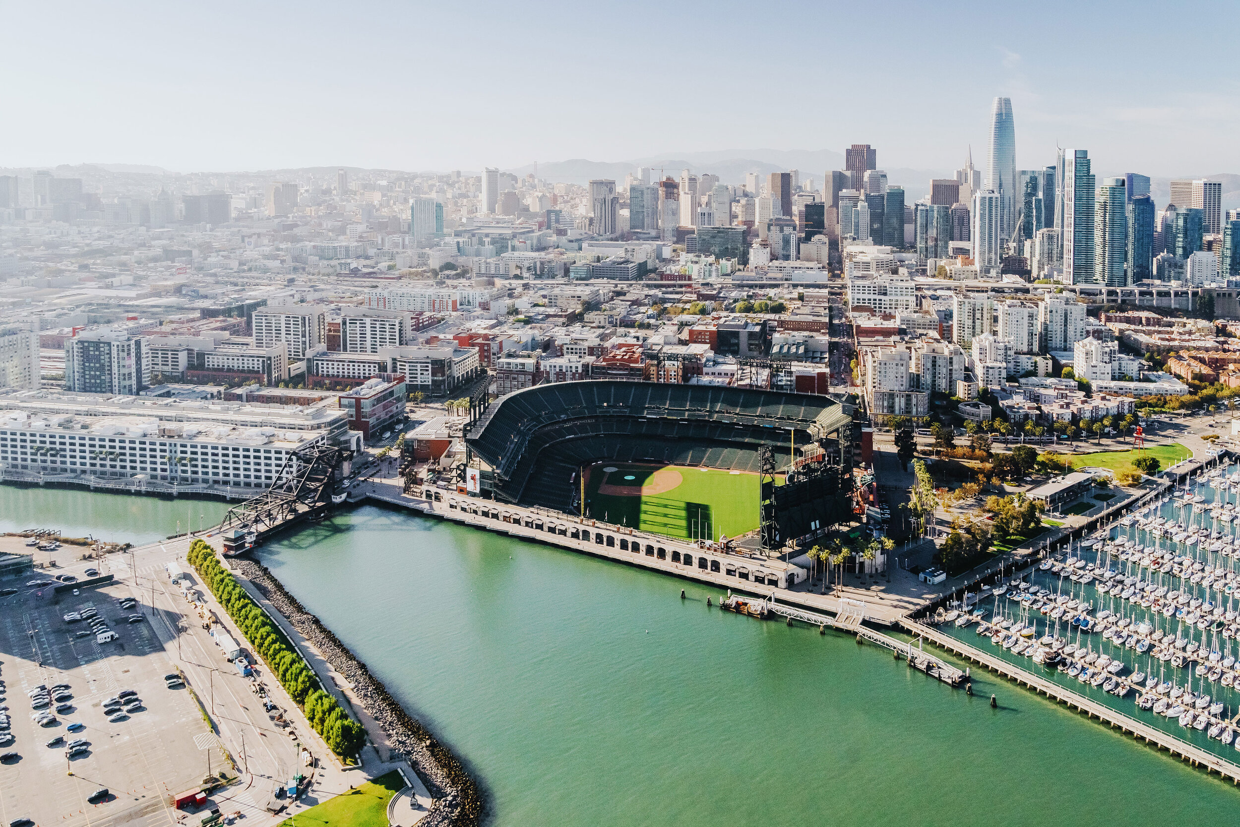
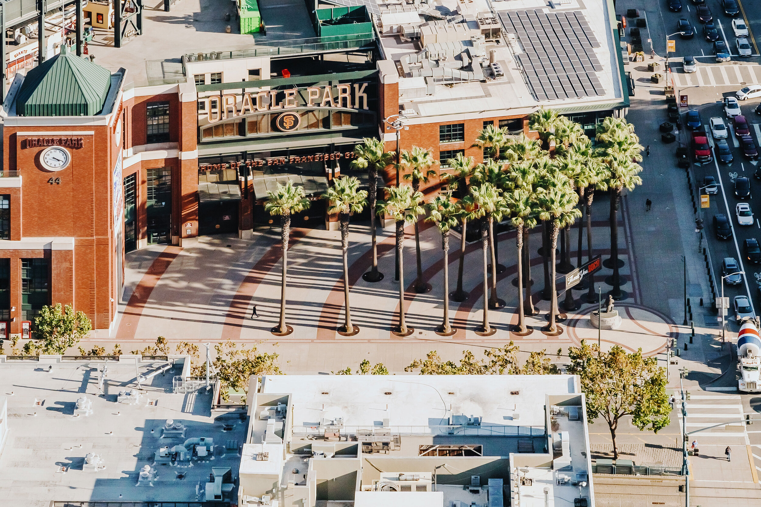
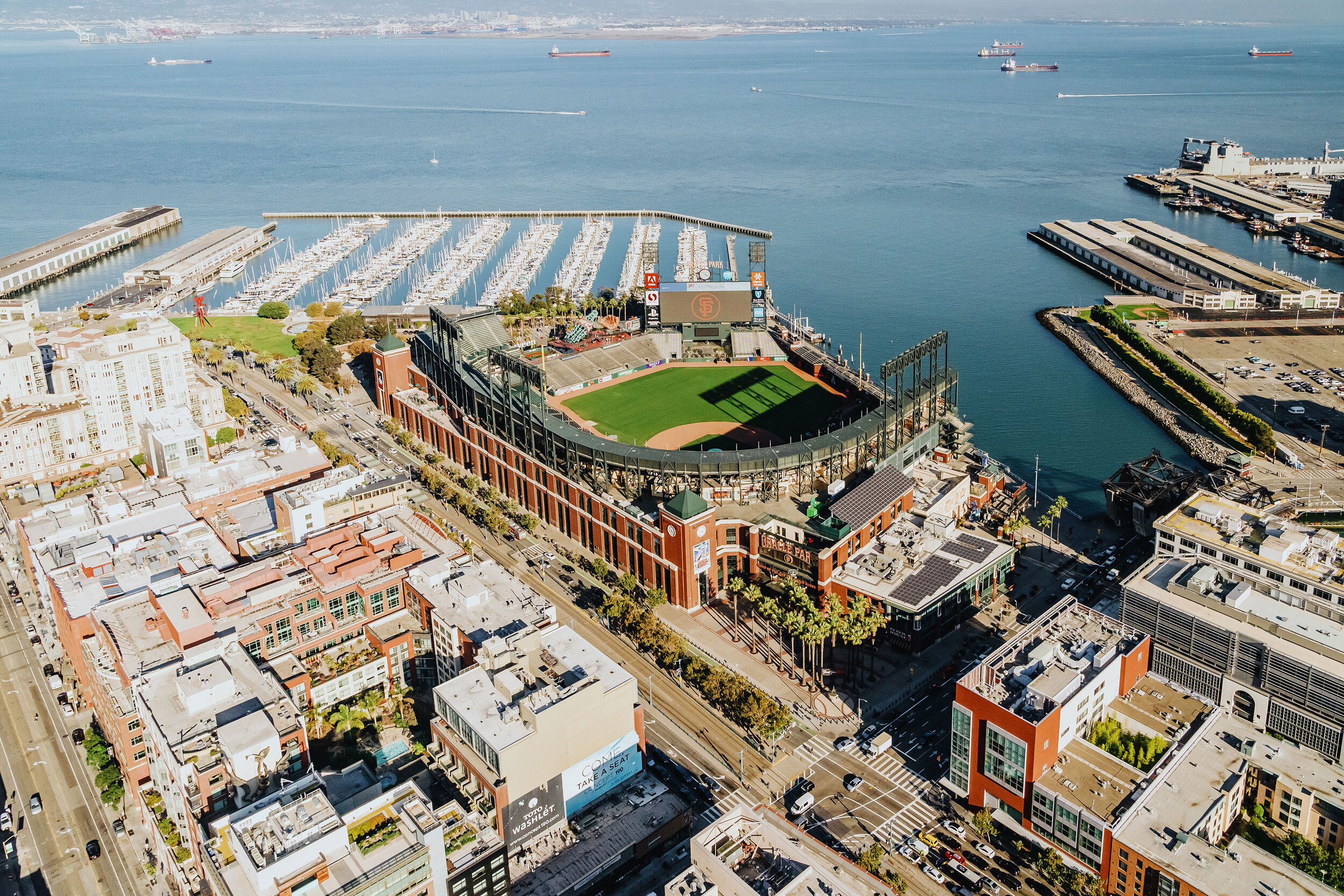
Located in San Francisco’s emerging South of Market neighborhood, AT&T Park is a classic urban baseball stadium with modern amenities. The facility is surrounded by iconic pedestrian plazas and streetscapes which frame the ballpark and connect it to its urban context.
Site elements and materials were inspired by AT&T Park's proximity to San Francisco Bay as well as the many legends of the San Francisco Giants. As the only ballpark in the nation where a home run hit can send a ball splashing into the waters of the Bay, the Third and King Street entry plaza features a ‘splash’ of 24 Mexican fan palms—to commemorate Mays’ uniform number.
Willie Mays Plaza, the Port Walk, and 3rd and King Streets engage transportation nodes, adjacent civic spaces and a waterfront promenade.
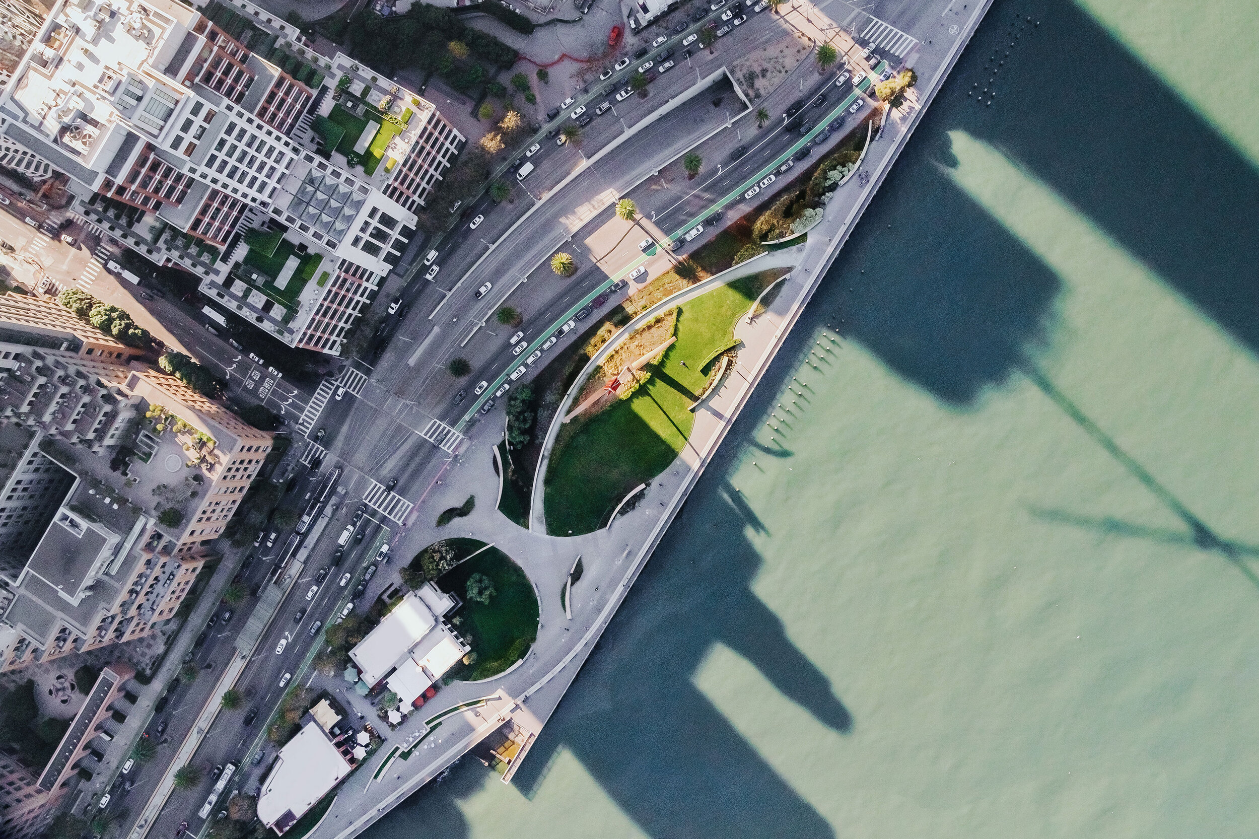
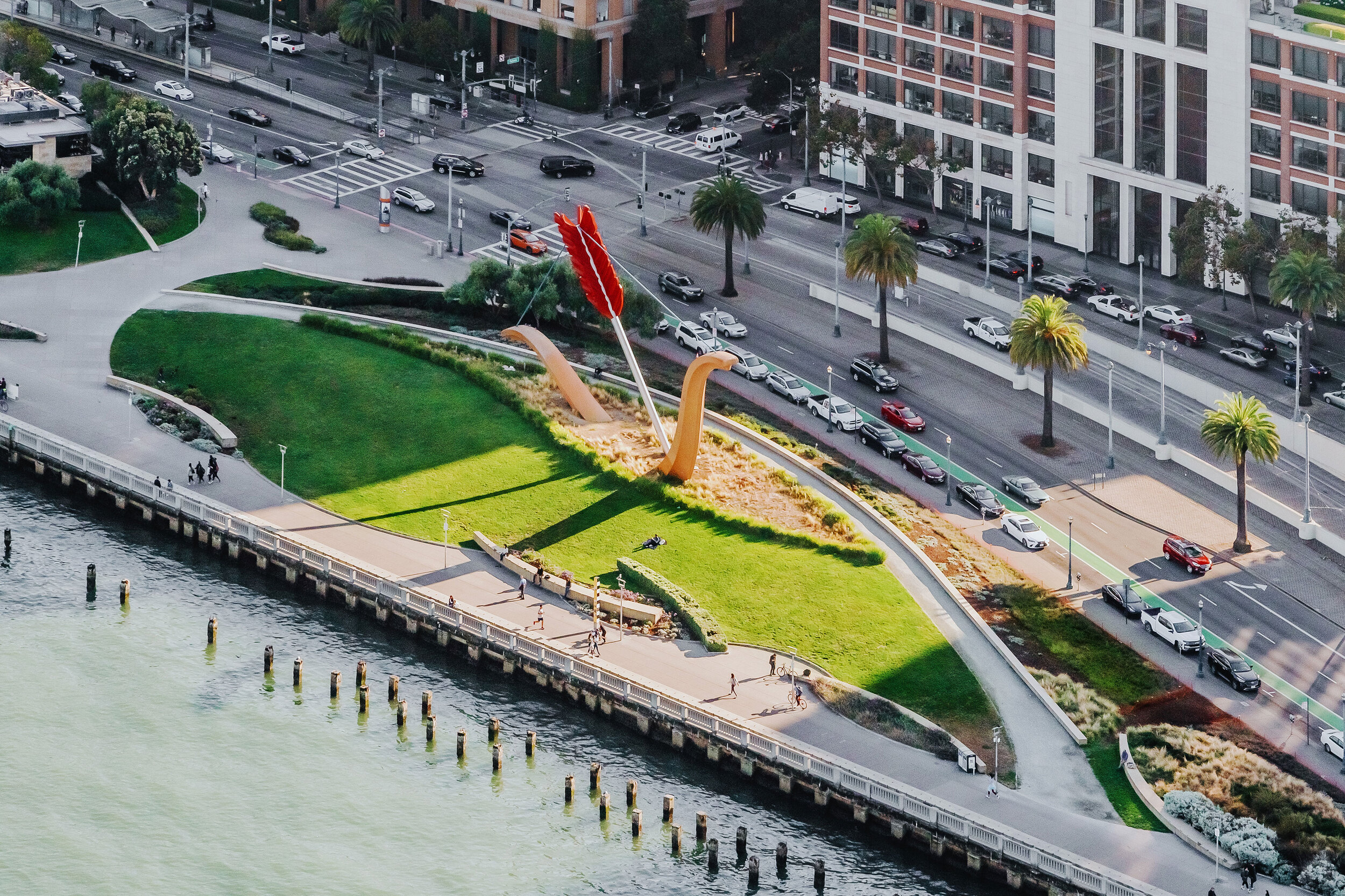
Situated at the foot of Folsom Street, Rincon Park completes the open space edge on San Francisco’s central waterfront. The Park’s primary landform is a tilted plane of green, inclined toward the Bay—an amphitheater for spectacular views and a foil to the traffic of the Embarcadero Parkway.
Long, arcing walls on the Park’s western edge establish an armature that enfolds two restaurants into the larger composition. A series of smaller tilting and arcing walls recalls the after images of advancing and receding waves on this former beach.
The evolution of the Presidio National Park’s Main Post—a ‘green heart’ to the Presidio’s extensive parklands, and its center of activity—has been a critical step in the Park’s transformation from military base to public resource. O|CB guided this evolution over the course of a decade, throughout the visioning, planning and design stages of several key projects: the Thoreau Center for Sustainability, the Cultural Landscape Assessment–Principles for the Future, Building 38, the Bay School, Tennessee Hollow/Quartermaster Reach Rehabilitation, the Disney Family Foundation Museum and the Main Parade Master Plan.