


1
2
3
4

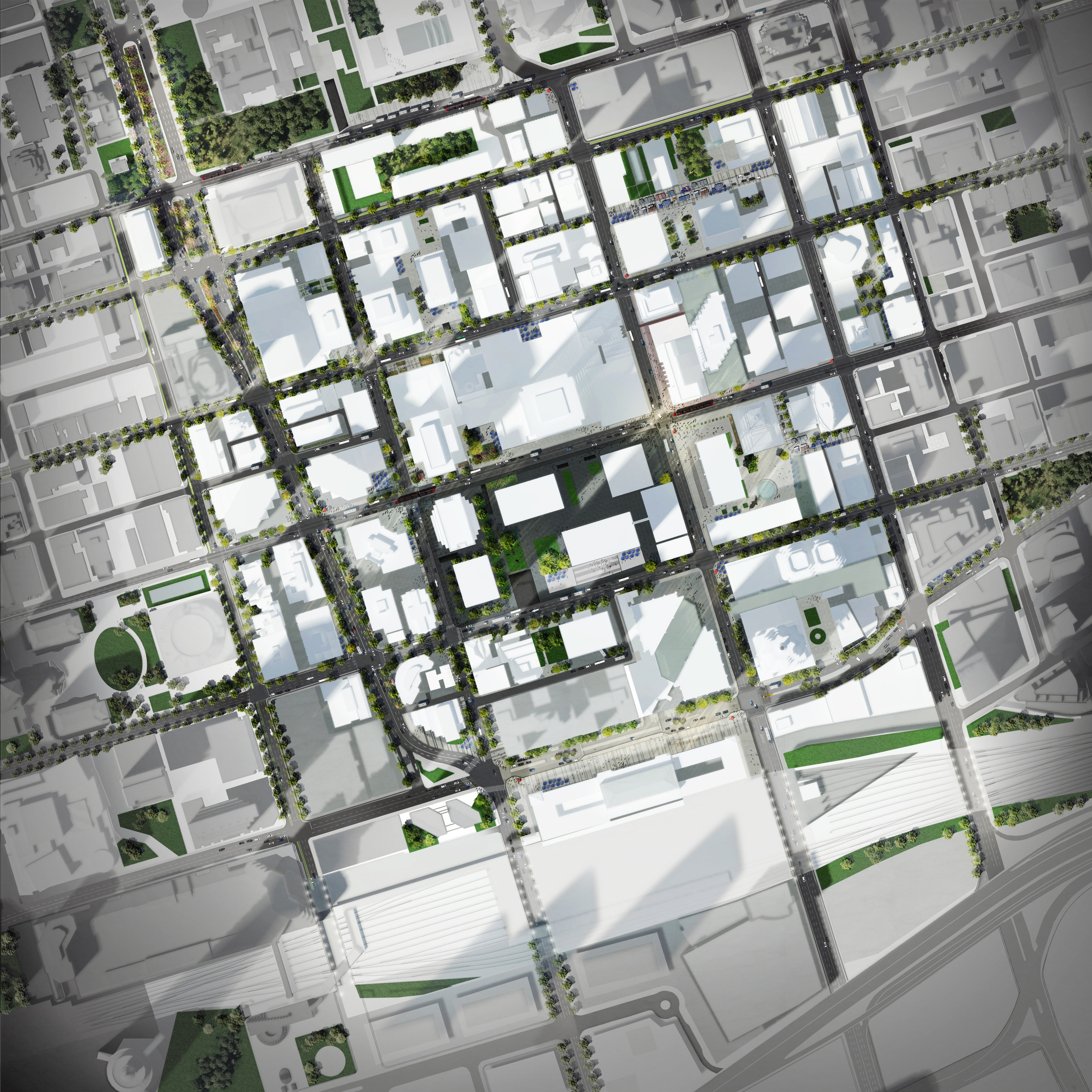
In coordination with the Financial District BIA, PUBLIC WORK produced a visioning plan to help map recent and planned improvements to the streetscapes and public spaces of downtown Toronto.
Employer: PUBLIC WORK
Role: Visualization + 3D modelling, Project Coordination
Year: 2014
Location: Toronto, Canada
All images property of PUBLIC WORK Office for Urban Design and Landscape Architecture